


Reentrâncias Maranhenses
Location
Maranhão, Brazil
Category
Hemispheric
Basis for Designation
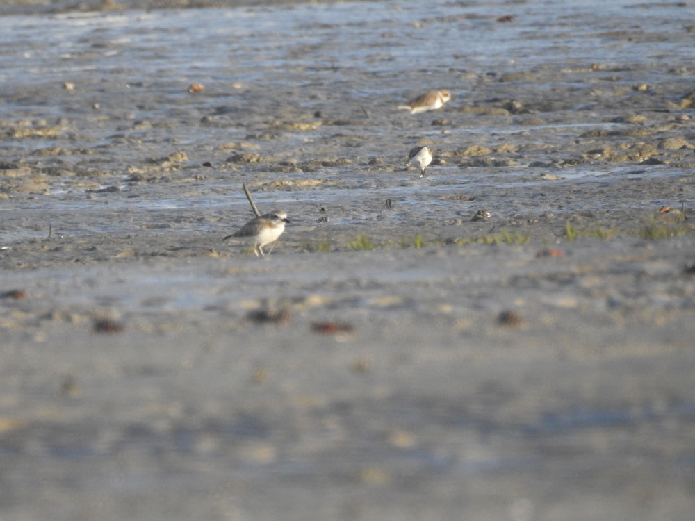
Supports 54% of all the Black-bellied Plovers, 72.5% of Ruddy Turnstones, 49.3% of Willets, and 43.7% of Whimbrels counted in South America.
Size
2,680,911 hectares (6,624,665 acres)
Date Designated
December 1991
Site Owner
Secretary of the Environment and Natural Resources of the State of Maranhao (Secretaria de Estado do Meio Ambiente e Recursos Naturais do Maranhão, SEMA)
Site Partners
National Bird Conservation and Research Center (Centro Nacional de Pesquisa e Conservação de Aves Silvestres, CEMAVE)

Overview
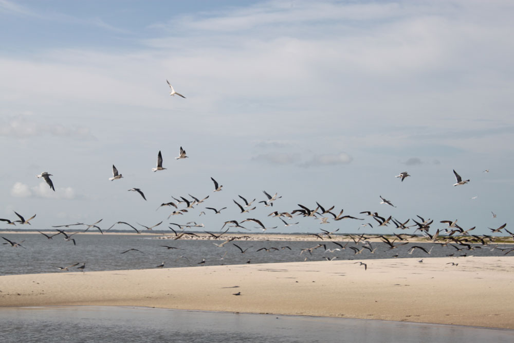
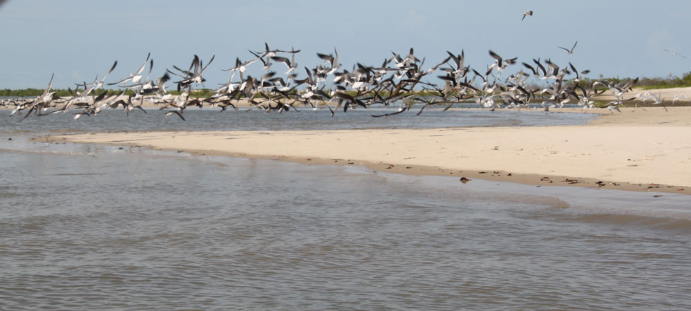
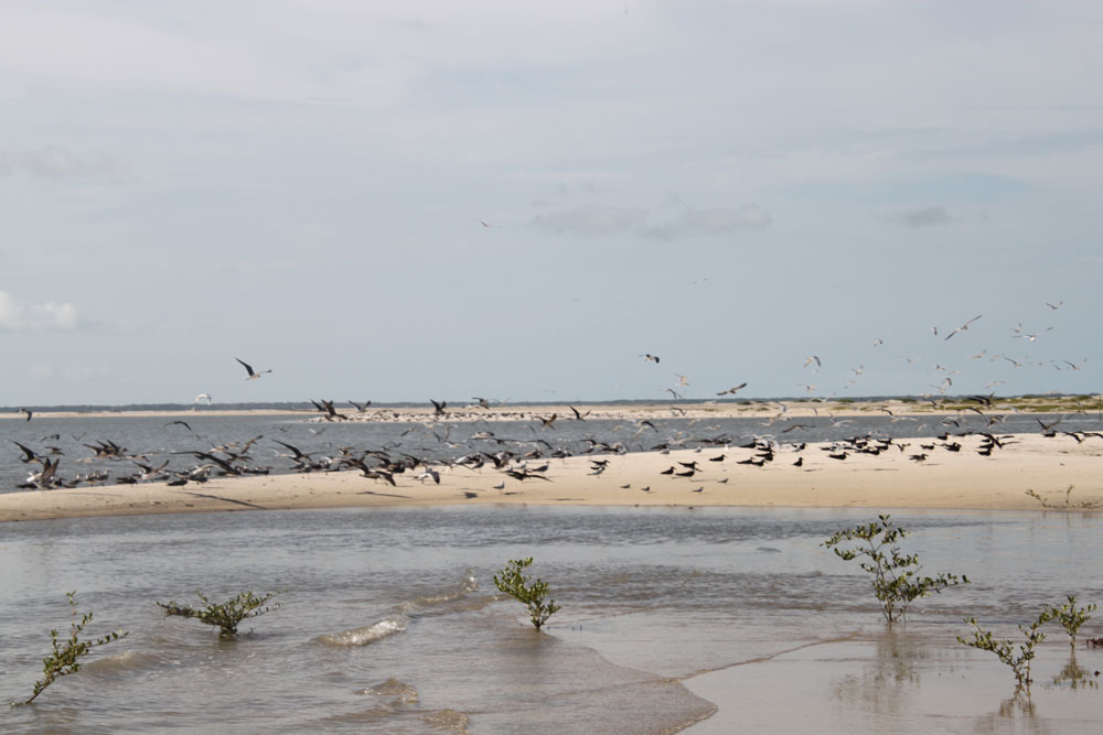
The Reentrâncias Maranhenses State Protected Area lies between the mouth of the Gurupi River and the Bay of San Marcos, including Cajual Island, at an altitude of 10 meters. The area is very diverse geomophologically, with bays and estuaries, mangroves, sandy beaches, and coastal dunes. There are also many low-lying islands. Tides are up to 8 meters.
Most of the 327,000 Nearctic shorebirds counted by Morrison and Ross in the north-central eco-unit of Brazil were found in this sector. According to Morrison, the area harbored 54% of all Black-bellied Plovers counted in South America, 72.5% of all Ruddy Turnstones, 49.3% of all Willets, and 43.7% of all Whimbrels.
Morrison states, “In summary, the surveys clearly demonstrated that the north-central coast of Brazil is of major international importance as a wintering area for shorebirds and is of critical importance for several individual species.” The many diverse habitats in the area support a large variety of bird species. Scarlet Ibis nest in the area.
The area also supports a great variety of other animal species such as marine turtles, manatee, and many species of fish and crustaceans.
Protection and Land Use
Reentrâncias Maranhenses is an Area of Environmental Protection (Area de Proteçao Ambiental, or APA, in Portuguese) created in June of 1991. The APA is a Conservation Unit managed by the state government, through the State Department of Environment and Natural Resources of Maranhão, SEMA. It is not a traditional conservation unit, such as a reserve or national park. The legislation allows a sustainable use of natural resources, but forbids heavily polluting enterprises and human activities other than traditional resource usage. The designation of environmental protection areas is an important tool for conservation and management, being instrumental in the effective implementation of sustainable use techniques within Brazil.
Within the APA, there is a smaller subarea called the “Cururupu Marine Extractive Reserve (RESEX)”, managed by the federal government, through the Chico Mendes Institute for Biodiversity Conservation (ICMBio).
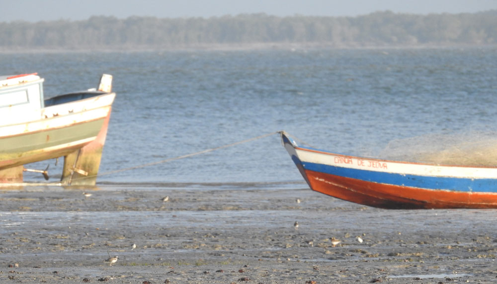
Resex Cururupu was created on June 2, 2004, and covers 186,054 hectares of coastal marine habitat. At Cururupu, there are 15 islands inhabited by communities of artisanal fishermen who survive exclusively from fishing. Many migratory shorebirds use these islands.
In addition to these small scale fishing activities, there are mineral and salt extraction operations in the region. Areas with good access have potential for tourism, but most of the area is inaccessible.
Current Threats
The area is fairly protected from conversion to agriculture by its high salinity and inaccessibility. There does exist some threat from possible overexploitation of mangroves and from the salt industries in the area. There are also mining activities in the area that bring a variety of associated threats. Shrimp farms could pose a threat if unregulated.

Resources
The Management Plan and more information about the boundaries of the Cururupu Marine Extractive Reserve (RESEX) can be found at the link below, on the official ICMBio website.


