Lake Erie Marsh Region
Location
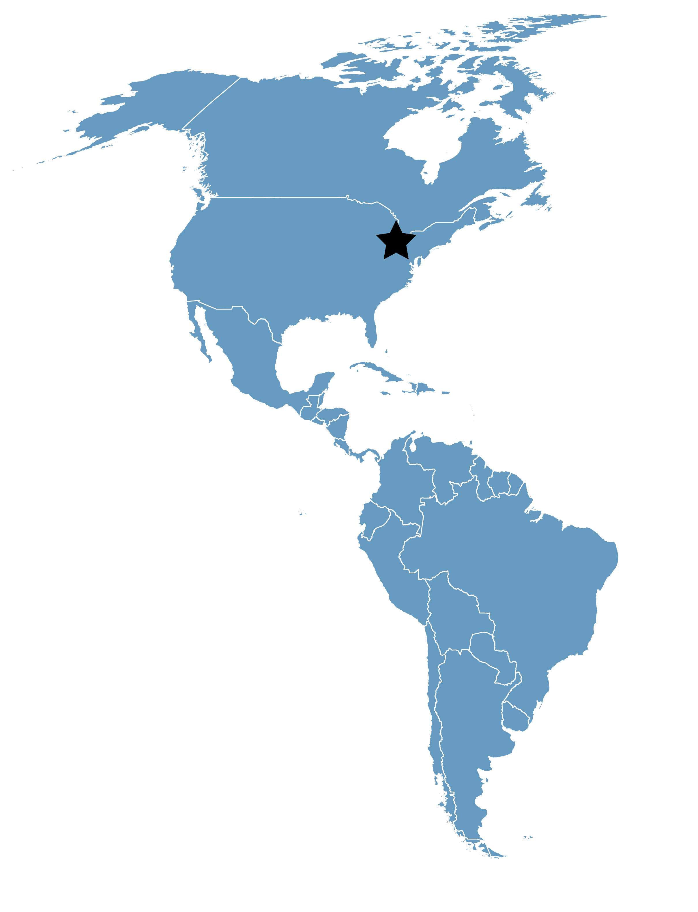
Ohio and Michigan, United States
Category
Regional
Basis for Designation
More than 20,000 shorebirds annually.
Size
16,187 hectares (39,999 acres)
Date Designated
September 2000
Site Owner
First Energy Corporation
Michigan Department of Natural Resources
Ohio Division of Wildlife
The Nature Conservancy
U.S. Fish & Wildlife Service
Site Partners
Black Swamp Bird Observatory
Overview
The Lake Erie Marsh Region makes up the wetland components and associated uplands of what is left of the Great Black Swamp. The area extends from Huron, Ohio to the mouth of the Detroit River in Michigan. Once totaling over 300,000 acres, the wetland habitats consist of less than 40,000 acres today. Ownership is very diverse. Principle wetlands consist of federal lands (Ottawa and Cedar Point National Wildlife Refuges), state lands (Mallard Club, Metzger Marsh, Little Portage, Pickerel Creek, Willow Point, Pipe Creek, and Magee Marsh State Wildlife Areas; Point Moullie State Game Area; and Sheldon’s Marsh State Nature Preserve) and private ownership. Magee Marsh Wildlife area is also home to the Black Swamp Bird Observatory, a research, education, and outreach organization active in Northwest Ohio and an important site partner.
The Lake Erie marshes provide a consistent habitat during both spring and fall migration for all groups of migrating birds utilizing wetland habitats. Shorebird usage is heavily dependent on annual habitat availability and annual management of the region’s wetlands. It is unknown if shorebirds utilizing interior migration sites represent a subsample of shorebird populations, differential age movement, or separate geographic origin populations of arctic breeding species.
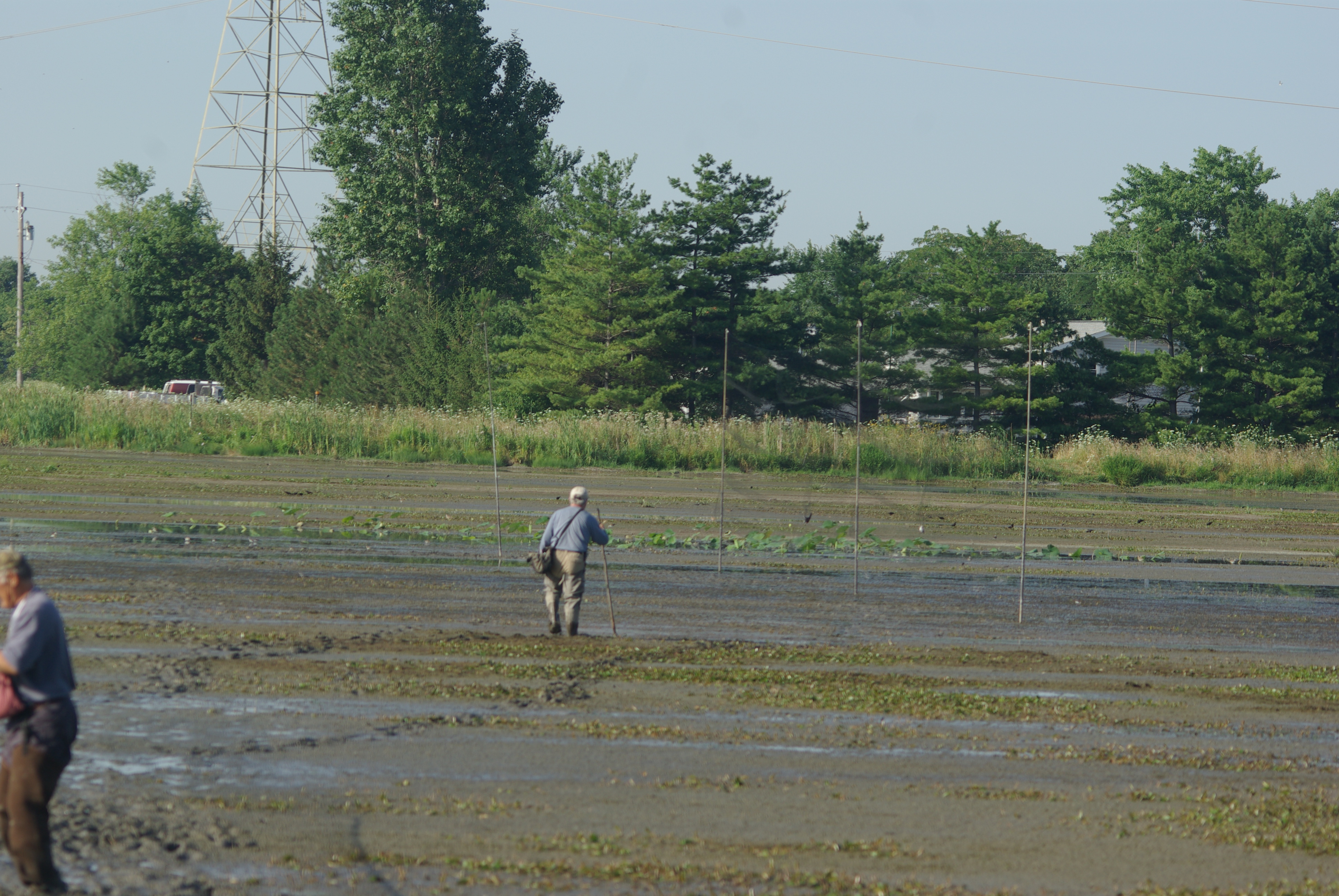
Mist-netting Shorebirds. Photo: Mark Shieldcastle, BSBO.
Shorebird Use and Ecology
A total of 38 species of shorebirds have been reported on surveys since 1993. Habitat usage has categorized into five basic types. Beach shorebirds tend to be specialist and include Sanderling, Ruddy Turnstone, and Piping Plover. Dry-mudflat specialists in the region include Baird’s Sandpiper, Buff-breasted Sandpiper, the large plovers, and Killdeer. Moist-mudflat species include the small peeps, Pectoral Sandpiper, Semipalmated Plover, Red Knot, and Common Snipe. Shallow-water shorebirds include the yellowlegs, Dunlin, dowitchers, and Willet. Deep-water species include the phalaropes, Whimbrel, godwits, Stilt Sandpiper and American Avocet.
The wetland habitats of the Lake Erie Marsh Region are predominately preserved by man-made dikes designed to protect the vegetation from high lake levels. Wildlife diversity is the primary goal of government owned lands. Normal practices include spring drawdown of wetlands to expose soils for seed germination of native wetland plants. These units provide spring migration habitat for shorebirds during their passage. Natural mudflats are also created by the varying water levels of Lake Erie itself. Lake Erie has a natural seiche effect that results in water level changes from inches to 10 feet in a 24 hour period depending on wind direction and intensity. This creates extremely transitory habitat conditions that can be utilized by migrating shorebirds.
Resources
Black Swamp Bird Observatory has been doing shorebird surveys in northwest Ohio for years. Several years’ worth of annual reports on these surveys can be found HERE by scrolling down to “Shorebird migration studies.”
Black Swamp Bird Observatory has an excellent reference on the timing of Fall Shorebird Migration including general patterns and information for specific species.


