


Kellys Slough NWR Complex
Location
North Dakota, United States
Category
Regional
Basis for Designation
Supports an average of more than 36,300 shorebirds annually.
Size
1,552 hectares (3,835 acres)
Date Designated
July 2003
Site Owner
U.S. Fish and Wildlife Service
Site Partners
Grand Cites Birding Club
University of North Dakota
Audubon Dakota
North Dakota Game and Fish Department
Grand Forks County Prairie Partners

Overview
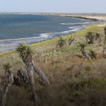
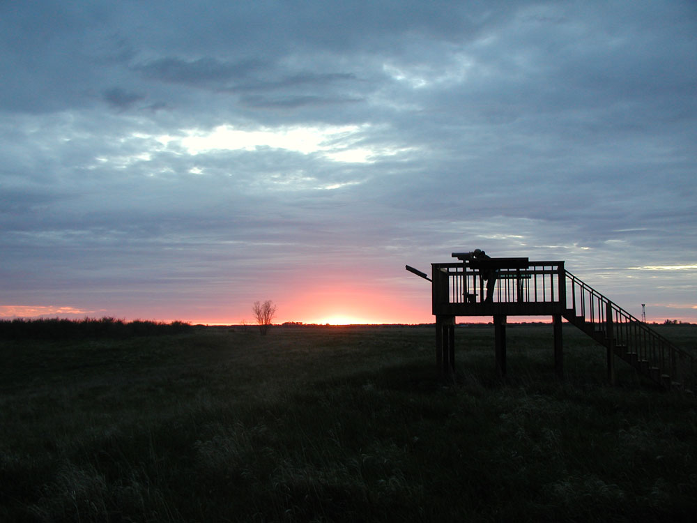
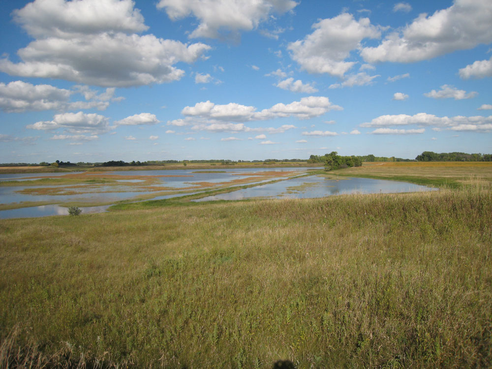
Kellys Slough National Wildlife Refuge (NWR) Complex is located in Grand Forks County, North Dakota, approximately 11 miles west of the city of Grand Forks. The refuge is situated within the Red River Valley of the Prairie Pothole Region of the U.S. Central Flyway, part of the historic tall-grass prairie region of the Northern Great Plains. It is located in the northeastern part of North Dakota and lies in an area formed by old glacial Lake Agassiz and has a smooth, nearly level topography.
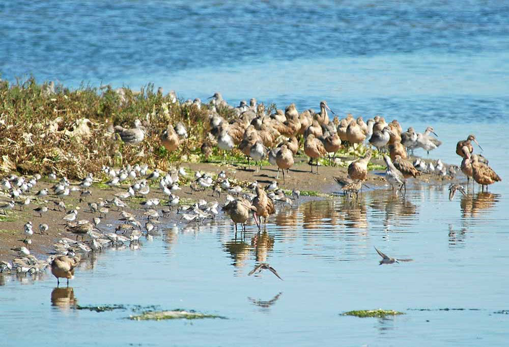
Franklin D. Roosevelt established this refuge in 1936 for use as a haven and breeding grounds for migratory birds and other wildlife. The refuge was designated a WHSRN Site of Regional Importance, as it hosts more than 35,000 shorebirds between April and August. Up to 22 species have been spotted on the refuge during the month of July, which is the start of the fall migration period. Breeding species include American Avocet, Killdeer, Wilson’s Phalarope, Willet, Marbled Godwit, Upland Sandpiper, and Spotted Sandpiper.

Kellys Slough National Wildlife Refuge has been a WHSRN site since 2003.
Several secondary shorebird and waterfowl sites are within a few miles of the refuge. These include the Lake Ardoch NWR, Stewart Lake Waterfowl Production Area, and Turtle River State Park. The refuge and these secondary sites provide critical habitat for countless bird species. Kellys Slough NWR also provides “keystone” habitat for surrounding grassland bird conservation areas.
A series of water-control structures within Kellys Slough NWR allow water levels in some areas to be manipulated to enhance wetland conditions. Total wetlands by class include: 1,813 acres of managed permanent wetland habitat, 8 acres of riverine habitat, 794 acres of semi-permanently flooded habitat, 95 acres of seasonally flooded habitat, and 39 acres of temporarily flooded habitat, embedded in a matrix of 1,085 acres of managed upland grassland habitat.

A flock of Semipalmated Sandpipers on the wing at Kellys Slough NWR. Photo: David Lambeth.
The Kellys Slough NWR Complex and surrounding area was the first project area in North Dakota by the Prairie Pothole Joint Venture (PPJV) through the North American Waterfowl Management Plan (NAWMP). Through cooperative efforts among countless agencies, it has become well established as a site for waterfowl production, as a critical stopover site for migratory shorebirds, and as important habitat for other wildlife.

Resources
The following slides summarize shorebird research done at Kellys Slough NWR by Dr. Corrinne Carey of the University of North Dakota in 2001 and 2002. Click on each to see the Refuge’s high, medium, and low frequency shorebird species based on Dr. Carey’s counts.


For more information about Kellys Slough NWR, including discussions about shorebirds, shorebird management, WHSRN designation, and more shorebird photos, visit the Kellys Slough NWR Website.

Location
United States, Georgia
Category
Regional
Basis for Designation
Greater than 20,000 shorebirds annually.
Significant Species
Species 1
Species 2
Size
8,549 ha (21,125 acres)
Date Designated
October 1999
Site Owner
Georgia Department of Natural Resources
Little St. Simons Island
U.S. Fish and Wildlife Service
Site Partners
The Nature Conservancy
Georgia Ornithological Society
Coastal Georgia Audubon
Georgia Wildlife Federation
Contact
Stacia Hendricks
Little St. Simon Island
Context Map

Site Map

Overview
On October 9, 1999 the Western Hemisphere Shorebird Reserve Network recognized the Altamaha River Delta in Glynn and McIntosh Counties as the 40th major reserve for shorebirds, highlighting its importance as a stopover for migratory and wintering birds traveling between the Arctic and South America. The Georgia Department of Natural Resources estimates this area supports at least 55,000 seabirds and shorebirds annually, stating “There are very few places as valuable to such a large and diverse number of coastal birds in all the southeast United States.”
Here is an example of a quote that is highlighted because of its importance.

Photo by Kellie Jones
Prominent Features
Prominent features of the delta include sand spit and barrier islands to the north and south with extensive barrier beaches, dunes, maritime forest and salt marshes. The islands and their associated habitats offer exceptional habitat for breeding and wintering birds. The surrounding waters and wetlands provide a readily available food source. The area serves as a resting site for migrating shorebirds, waterbirds and landbirds, including high concentrations of American Oystercatcher (migration/winter: 250), Red Knot (migration 5,000), Dunlin (migration 1,500) and Piping Plover (migration/winter: 65).
Resources Tabbed Style


- Report Name Here, add a link
- Report Name Here, add a link
- Report Name Here, Add a link
We could also use thumbnail images like the example poster tab. The images of the report cover could link to the report.
- Partner Link
- Partner Link
- Partner Link
