


Delaware Bay
Location
Delaware and New Jersey, United States
Category
Hemispheric
Basis for Designation
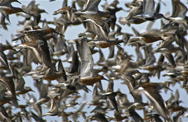
More than 500,000 shorebirds annually.
Size
21,208 hectares (52,406 acres)
Date Designated
May 1986
Site Owner
U.S. Fish and Wildlife Service
New Jersey Department of Environmental Protection
Delaware Department of Natural Resources and Environmental Control
Local municipalities and communities

The First WHSRN Site
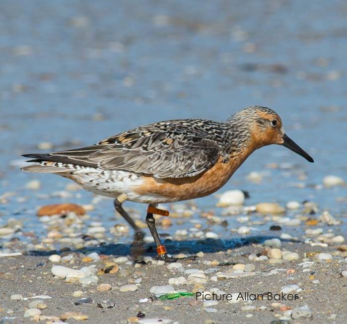
In May of 1986, biologists, citizens, and political leaders came together to recognize Delaware Bay as the first WHSRN Site of Hemispheric Importance for migrating shorebirds. The site, over 52,000 acres and hosting more than 500,000 individuals annually, is vital for migrating shorebirds, especially the imperiled rufa subspecies of Red Knot.
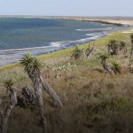
Land included in reserve is coastal, from hightide line down. Mostly narrow, sandy beaches, some mud flats; area made up of shorefront and lowtide flats, including dunes, sandy beaches and sandy/muddy mouths of rivers, adjacent tidal salt marshes, and salt water impoundments. There are extensive freshwater and saltwater wetlands throughout the Delaware River and Bay estuary.

Dupont Nature Center. Photo: Andrew Harper.
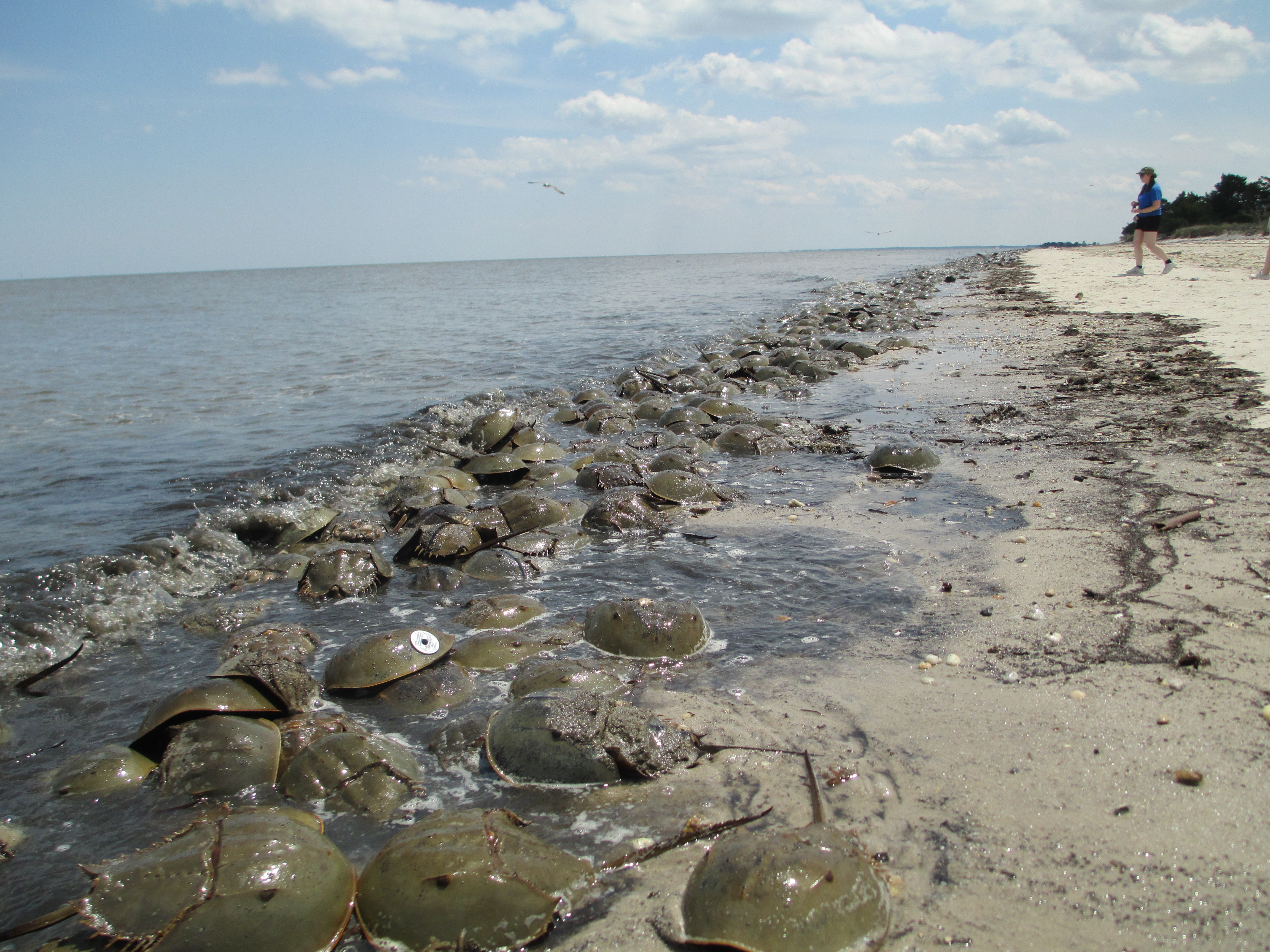
The extensive wetlands in the Delaware River Estuary provide excellent resting habitat and nesting sites for many species of migratory waterfowl, bald eagles, ospreys, northern harrier, waders and migrating raptors. The area functions as a major staging area for 80 percent of the Atlantic flyway population of Snow Geese. Several federal and state endangered and threatened species are supported as well. Delaware Bay is also the site of the largest spawning concentration of horseshoe crabs along the Atlantic coast.
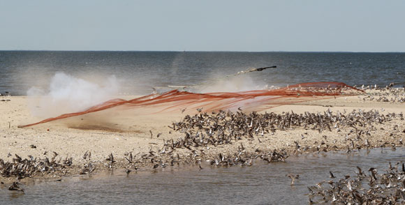
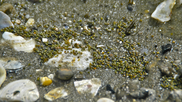
The northbound migration of shorebirds coincides with horseshoe crab spawning in the bay. Shorebirds have been found to feed mostly on horseshoe crab eggs on the bay beaches, but some species, such as the Semipalmated Sandpiper, Dunlin, and Short-billed Dowitcher, rely more heavily on marsh habitats. All shorebirds move between the beaches and marshes for feeding, resting and roosting. Annual surveys of shorebird abundance on beaches show that total birds counted on beaches in aerial surveys over the 6-week migration period range from 250,000 to over 600,000 (May through mid-June). Birds observed in tidal marsh habitats are estimated at 700,000, approximately two times that on bay beaches.
Land Use
The coast of New Jersey and Delaware is heavily developed in parts (mostly private homes), with the Bay being less developed. There are large areas of state and federally-owned land. Many towns along the Bay are fishing villages inhabited more heavily in the summer. Human activities vary from walking, birding, fishing, and sunning, to periodic high human disturbance, including all-terrain vehicles (on some beaches), commercial horseshoe crab harvesters, high concentrations of bird watchers, and dogs chasing birds. In the river and upper estuary, industrial land use includes chemical industries. The most important economic activities in the area are industry and fishing/ shell fisheries. The Delaware River and Bay are heavily used for oil transport; in fact the Bay is the largest port of transport on the East Coast of North America.
Protection
On the Delaware side of the Bay, about 50% of the coastline, 20,670 hectares (51,054 acres) of wetlands, is in state and federal ownership and thus protected. In New Jersey, approximately 21,016 hectares (51,910 acres) of wetlands associated with the Bay are in state ownership, mostly as Fish and Wildlife Management Areas (FWMA). Federal areas under protection include: Cape May National Wildlife Refuge, NJ, and Bombay Hook and Prime Hook National Wildlife Refuges, Delaware. New Jersey Wildlife Management Areas include: Mad Horse Creek, Dix, Egg Island, Fortescue, Nantuxent, Heislerville, Dennis Creek, and Higbee Beach. Delaware Wildlife Management Areas include: Woodland Beach, Little Creek, Ted Harvey, Prime Hook and Cape Henlopen. The Nature Conservancy has launched a 3-yr, 15 million dollar fund-raising campaign to acquire 13,500 square miles along the Delaware River Basin and additional areas are protected by The Natural Lands Trust, NJ Natural Lands Trust, and the Cape May County Park Commission.

The sun sets over South Reeds Beach, NJ. Photo: Laura Chamberlin.
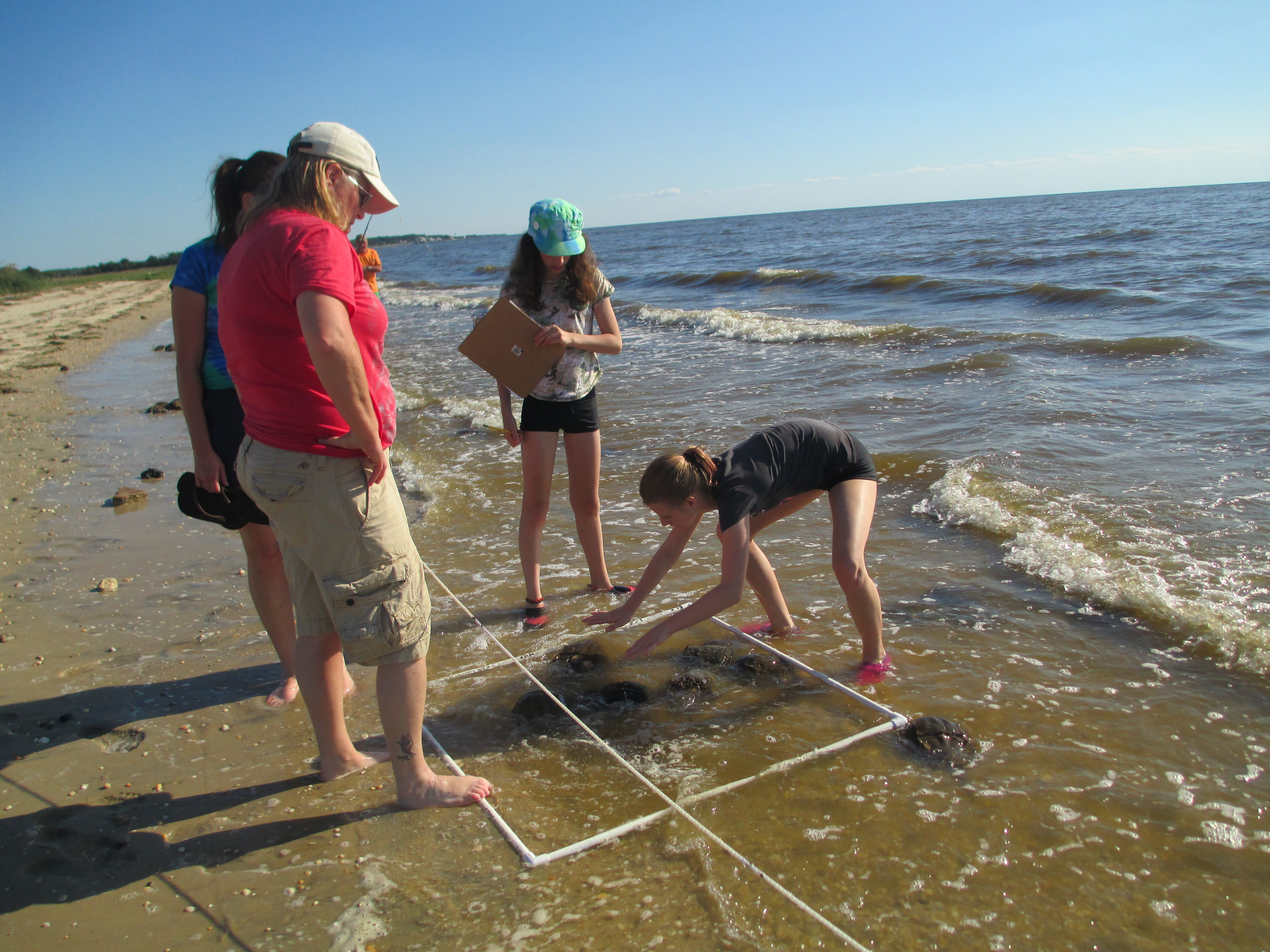
In Delaware, a comprehensive management plan for tidal wetlands (including recommendations for shorebird habitat) is being drafted. The Delaware General Assembly passed a bill in 1991 enabling regulation of the horseshoe crab take and mandated monitoring. Regulations were adopted instituting a permitting system, a season, and limiting methods of collection.
The point of Cape Henlopen, DE, is currently being managed for colonial water birds, primarily under the DE Piping Plover Management Plan. Large portions of the point are closed seasonally for plovers and many other shorebird species benefit.


