Coppenamemonding
Location
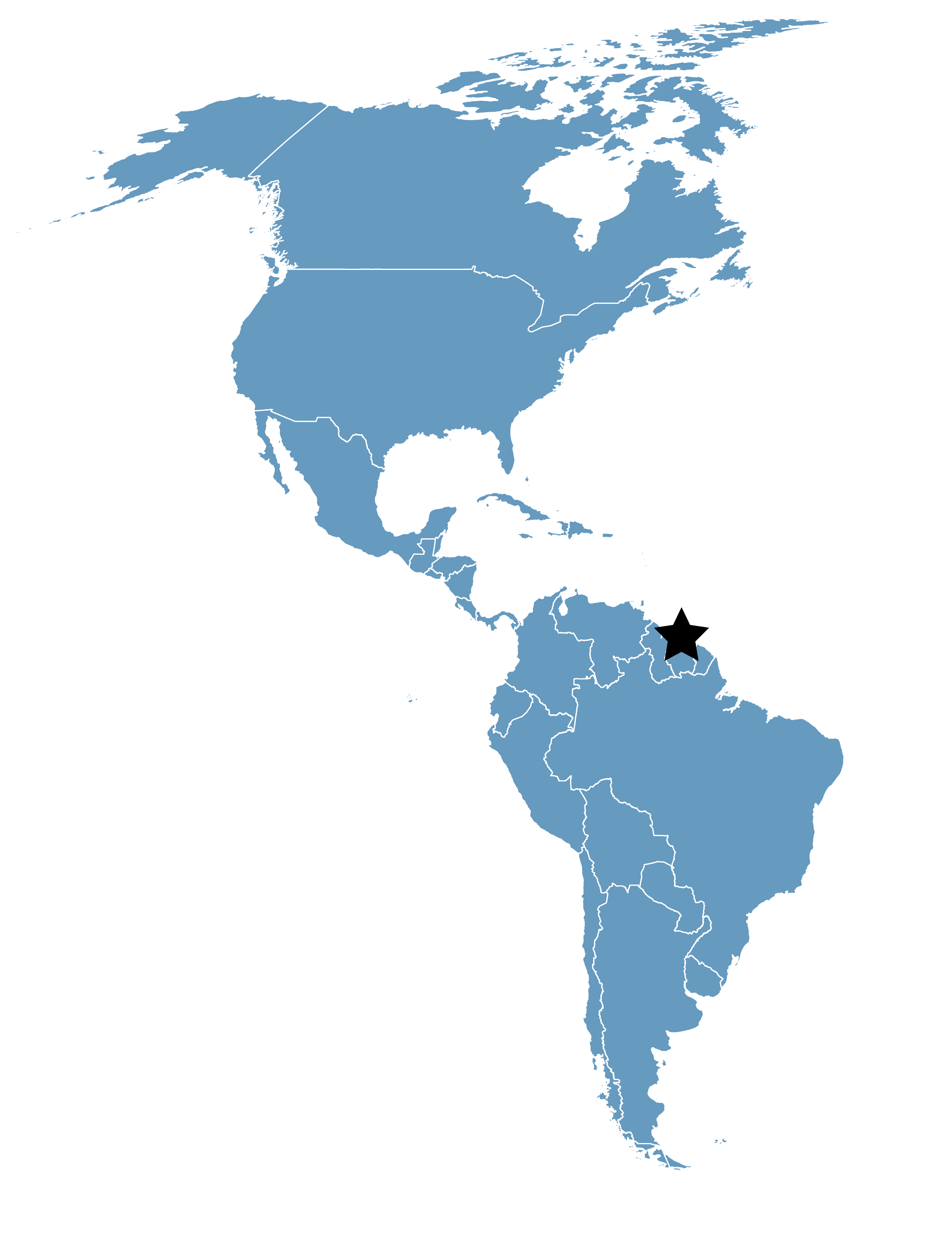
Saramacca District, Suriname
Category
Hemispheric
Basis for Designation
Supports more than 500,000 shorebirds annually.
Size
12,000 hectares (29,652 acres)
Date Designated
March 1989
Site Owner
Ministry of Physical Planning, Land Use, and Forest Management
Overview
Coppenamemonding Nature Reserve is a coastal reserve in Suriname, along the northern coast of South America. It is rich in mangroves and mudflats that support hundreds of thousands of migratory shorebirds each year—Semipalmated Sandpiper (Calidris pusilla) most abundantly. However, recent surveys by New Jersey Audubon Society and partners have found that the population wintering in northeastern South America has declined by as much as 80% in the last 30 years.
Coppenamemonding Nature Reserve (“Coppename” for short) in the Saramacca District consists of approximately 50 kilometers of coast between the estuaries of the Coppename and Suriname Rivers. The reserve’s bare mudflats and mangroves several kilometers wide run along the coast. Saline, brackish, and freshwater grass swamps are found to the south.
The reserve is owned by the government under the jurisdiction of the Ministry of Physical Planning, Land Use, and Forest Management (RGB by its Dutch acronym). It is managed by the Nature Conservation Division (NCD) within the Ministry’s Forest Service (LBB by its Dutch acronym).
The mudflats and the swamps are important for numerous migratory shorebirds breeding or stopping over in North America; nearly 400,000 shorebirds have been counted during an aerial survey. The area is known for its high biological production. It has a rich population of fish, shrimp, and crabs, and other wildlife. It also protects the breeding and feeding grounds of large numbers of local and migratory bird species, and nursery grounds for fish and shrimp.
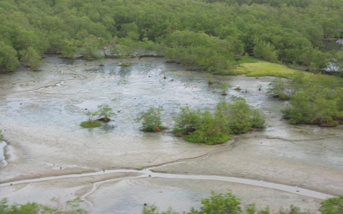
Coppename: Part of the Pralala Pan, a brackish to saltwater lagoon. Photo: Arie Spaans.
Ecology and Conservation
The Coppenamemonding Nature Reserve is in north-central Suriname. The area’s bare coastal mudflats run along the ocean, partially covered with Spartina brasiliensis. A wide strip of mangrove forest several kilometers wide runs along the coast; it consists of a mix of young, old, and dying mangrove. South of the mangrove zone, grass swamps of saline, brackish, and freshwater are found covered with Machaerium lunatum, Eleocharis mutata, and Typha angustifolia. There are scattered mangroves in the grass swamps, including swamp forests of Pterocarpus officinalis, Chrysobalanus icaco, and Annona glabra. There are also sand ridges with mixed xero-mesophytic marsh forest.
Within the reserve, a well-known lagoon called Pralala Pan is home for several waterfowl species. Due to uprooted mangroves, this lagoon has an open connection with the sea. The area is also connected to the sea by rivers and creeks. Water varies from hypersaline to freshwater. The water in the lagoon can be more than one meter deep in the rainy season, and some swamps and lagoons may totally dry up over the course of the long dry season.
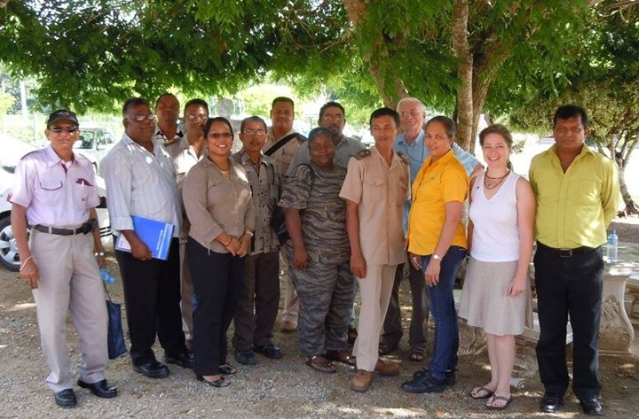
Coppenamemonding WHSRN Site Assessment Tool workshop participants: federal game wardens, federal environmental educator, district agency reps, and state oil company representative. Photo: David Mizrahi.
The area is known for its high biological production. It provides breeding and feeding grounds for large numbers of local and migratory bird species, and nursery grounds for fish and shrimp. It has a rich population of fish, shrimp, and crabs, as well as other wildlife.
The mudflats and the swamps are important for numerous migratory shorebirds breeding or stopping over in North America such as Semipalmated Sandpiper, Semipalmated Plover, Short-billed Dowitcher, and both Greater and Lesser Yellowlegs. Nearly 400,000 shorebirds were counted during a single season, in an aerial survey in autumn 2004.
Coppename houses a very important colony of Scarlet Ibis that breeds in the reserve, with 7,500 pairs counted in a June 2009 survey. This reserve is also designated an Endemic Bird Area (EBA) because of the common occurrence of three range- restricted species: Guyanan Piculet, Blood-colored Woodpecker and Rufous Crabhawk. White-tailed deer and jaguar are also present.
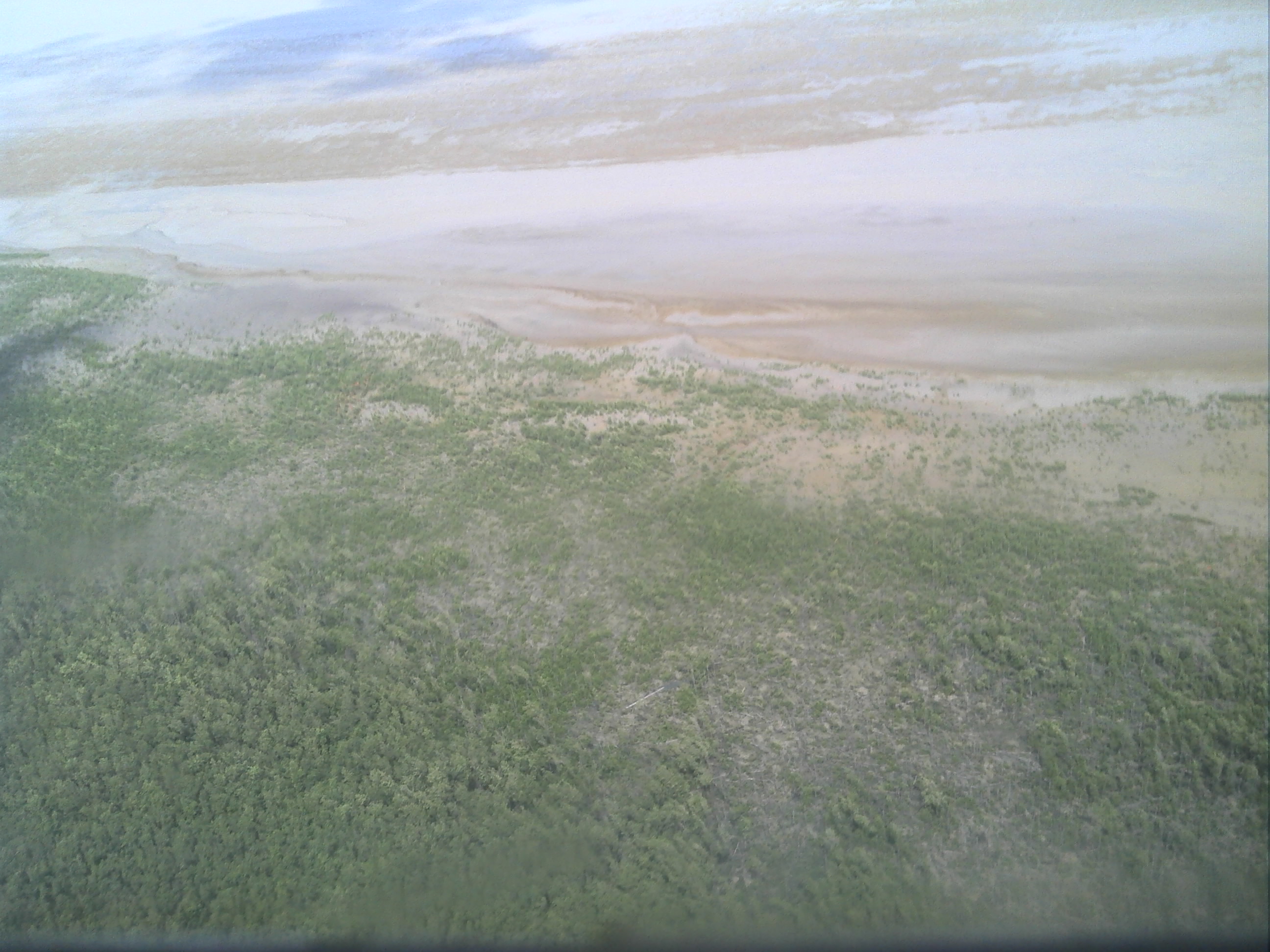
Coppenamemonding Nature Reserve mudflats, near river mouth. Photo: Forest Management Division of the Ministry of Physical Planning, Land- and Forestry Management, Suriname.
Threats
Poaching is a threat to the shorebirds at this site, however to a lesser extent than at Bigi Pan because the Coppenamemonding area is less accessible.
There is an oil field south of the reserve, and in 2009 a new one will be opened that borders the reserve. Since the water at the oil fields runs through the nature reserve to the ocean, a major oil spill poses a serious potential threat to the wildlife of Coppenamemonding.
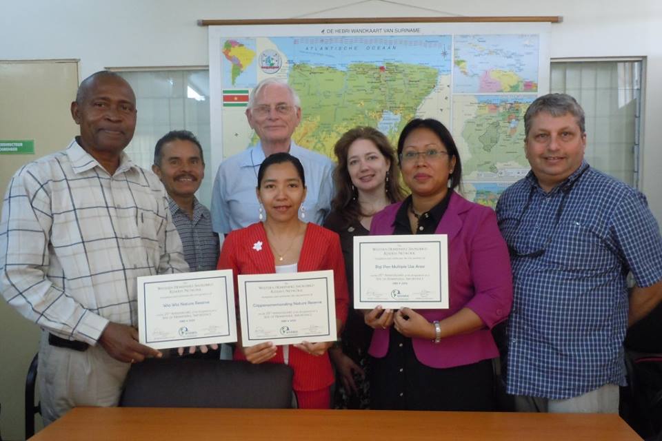
Celebrating the 25th anniversary of all three Suriname WHSRN sites – designated in 1989 – with special anniversary certificates. Photo: Meredith G. Morehouse.


