


Cape Romain – Santee Delta Region
Location
South Carolina, United States
Category
International
Basis for Designation
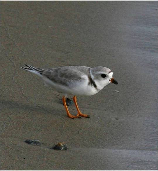
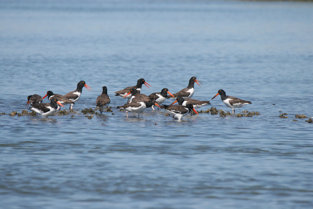
Supports over 100,000 migratory shorebirds annually, including ~15% of the U.S. East and Gulf coast population of American Oystercatchers and 11% of the Short-billed Dowitchers.
Size
48,336 hectares (119,440 acres)
Date Designated
March 1995
Site Owner
U.S. Fish and Wildlife Service
S.C. Department of Natural Resources
Private lands
Site Partners
Clemson University
Trent University

Overview
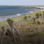
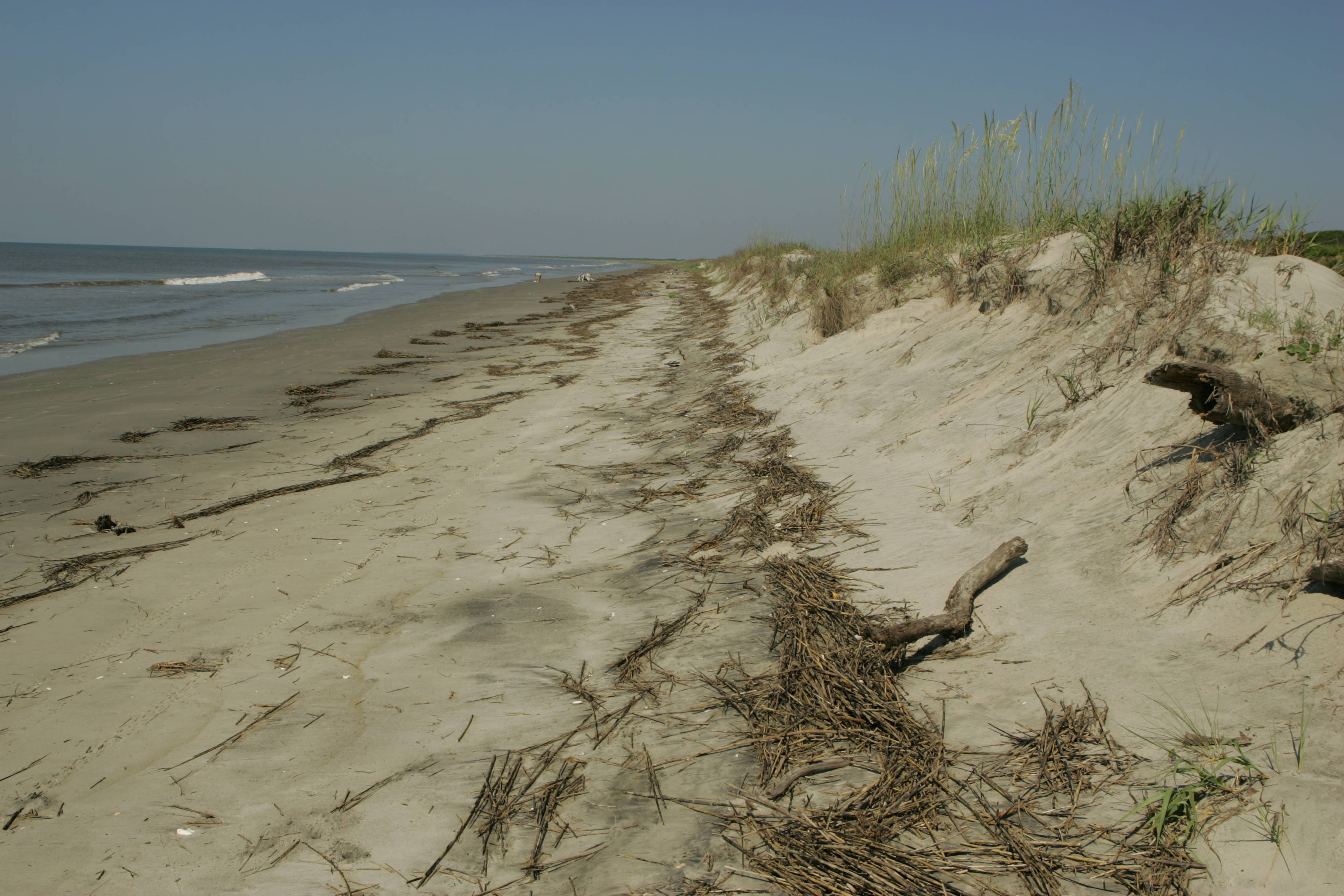
Approximately 1 in 10 of the Atlantic and Gulf Coast population of American Oystercatchers (Haematopus palliatus) rely on this stretch of South Carolina coastline, which led to the designation of the Cape Romain National Wildlife Refuge as a WHSRN Site of International Importance in 1995. In 2018, this WHSRN site expanded to almost double its original size. Cape Romain-Santee Delta Region now stretches for 50 miles of coastline, covering 119,440 acres (48,336 hectares).
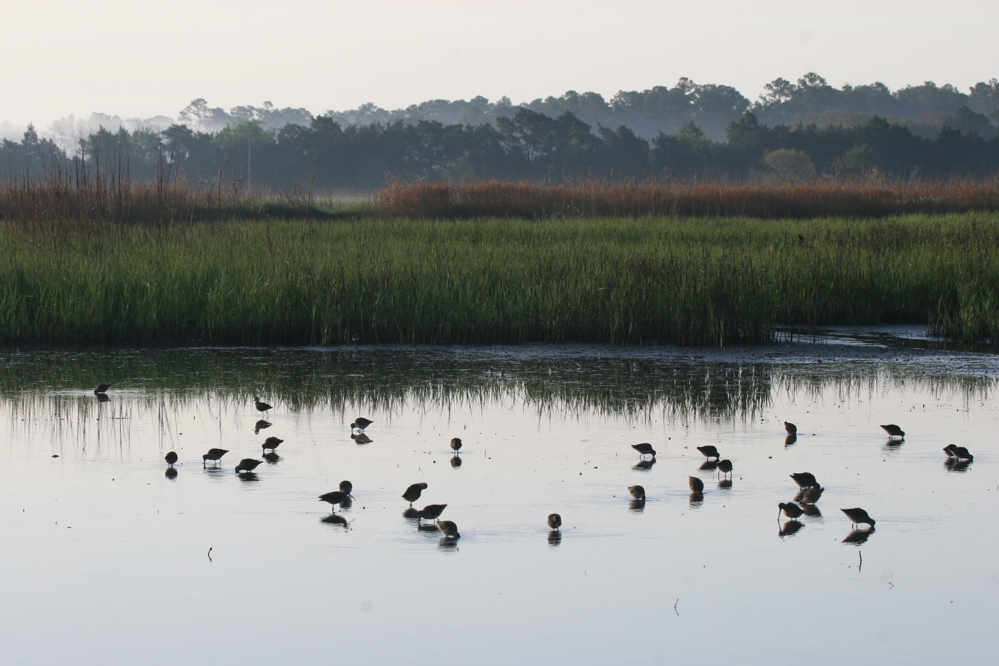
In this new expanded WHSRN site, shorebirds are able to find a diverse range of habitat, including intertidal mud and sand flats, ocean beaches, longleaf pine uplands, maritime forest, salt marsh, and managed wetlands and impoundments of both fresh and brackish water.

Marbled Godwits and Willets take flight. Photo: Felicia Sanders.
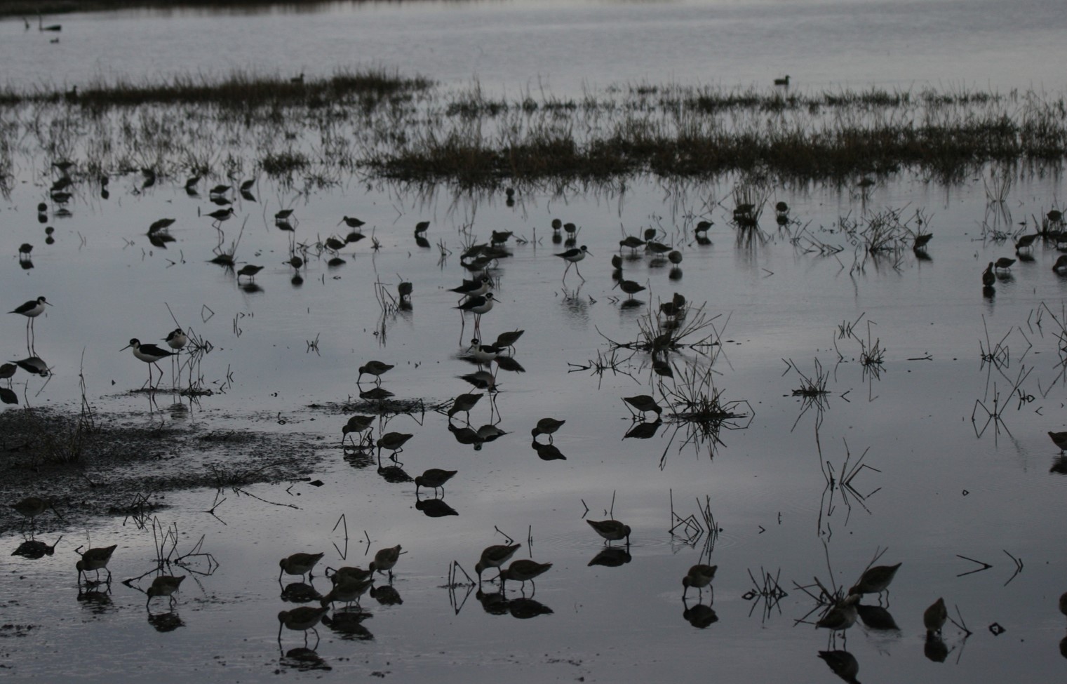
Scientific survey data confirm that the Cape Romain – Santee Delta Region site is a rest stop for 100,000 migratory shorebirds every year. The site hosts 15% of the U.S. East and Gulf Coast population of American Oystercatchers, and 11% of Short-billed Dowitchers (Limnodromus griseus). And not to be left out, the site likely supports more than 10% of the Semipalmated Plover (Charadrius semipalmatus) and threatened rufa Red Knot (Calidris canutus rufa) populations.
The expansion unites seven sub-sites managed by three different partners – the federally run Cape Romain National Wildlife Refuge, the South Carolina Department of Natural Resources, and the privately run Dewees Island Property Owners Association. The Yawkey Wildlife Center, Santee Coastal Reserve Wildlife Management Area, and Cape Romain National Wildlife Refuge are additionally recognized by BirdLife International and National Audubon Society as Important Bird Areas (IBAs).

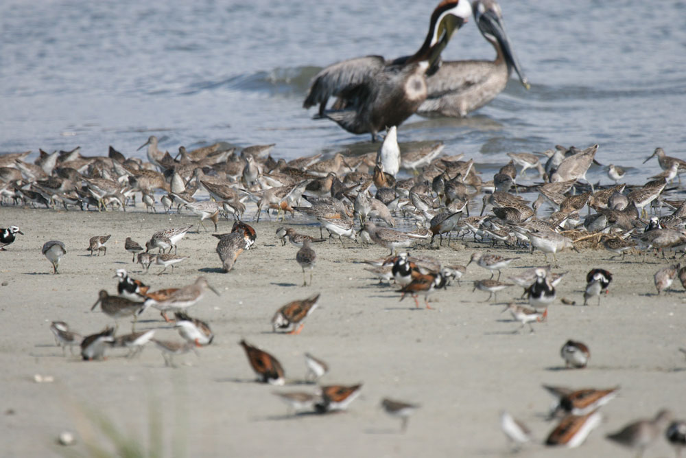
Mixed species flock foraging at Cape Romain. Photo: Felicia Sanders.
Subsites of the Cape Romain – Santee Delta Region WHSRN site:
Tom Yawkey Wildlife Center Heritage Preserve (Managed By SCDNR)
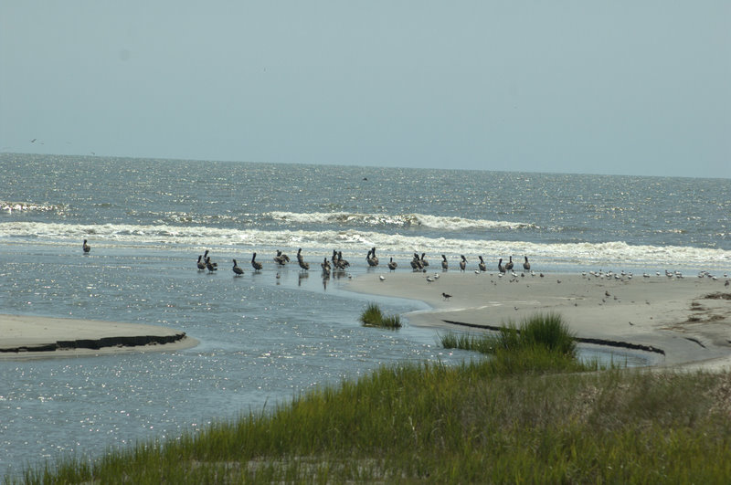
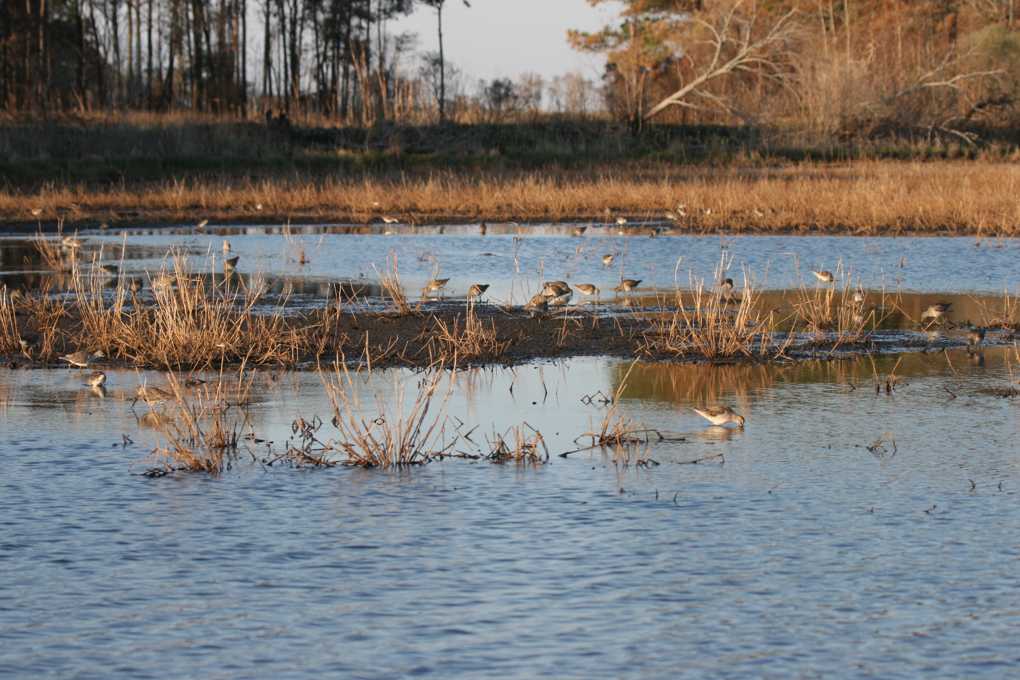
The Yawkey Wildlife Center consists of North, South, Sand, and Cat Islands: 24,000 acres in total of salt marshes, managed wetlands, wildlife openings, ocean beaches, longleaf pine uplands and maritime forests. The beaches of North Island, South Island and Sand Island are home to thousands of migratory shorebirds and nesting shorebirds such as the American Oystercatcher, Wilson’s Plover, and Willet. In addition, 25 brackish, managed wetlands are located on South and Cat Islands. At peak spring migration, from March to the end of May, there may be 20-40,000 shorebirds foraging in these managed wetlands when water levels are drawn down.
North Santee Bar Seabird Sanctuary (Managed By SCDNR)
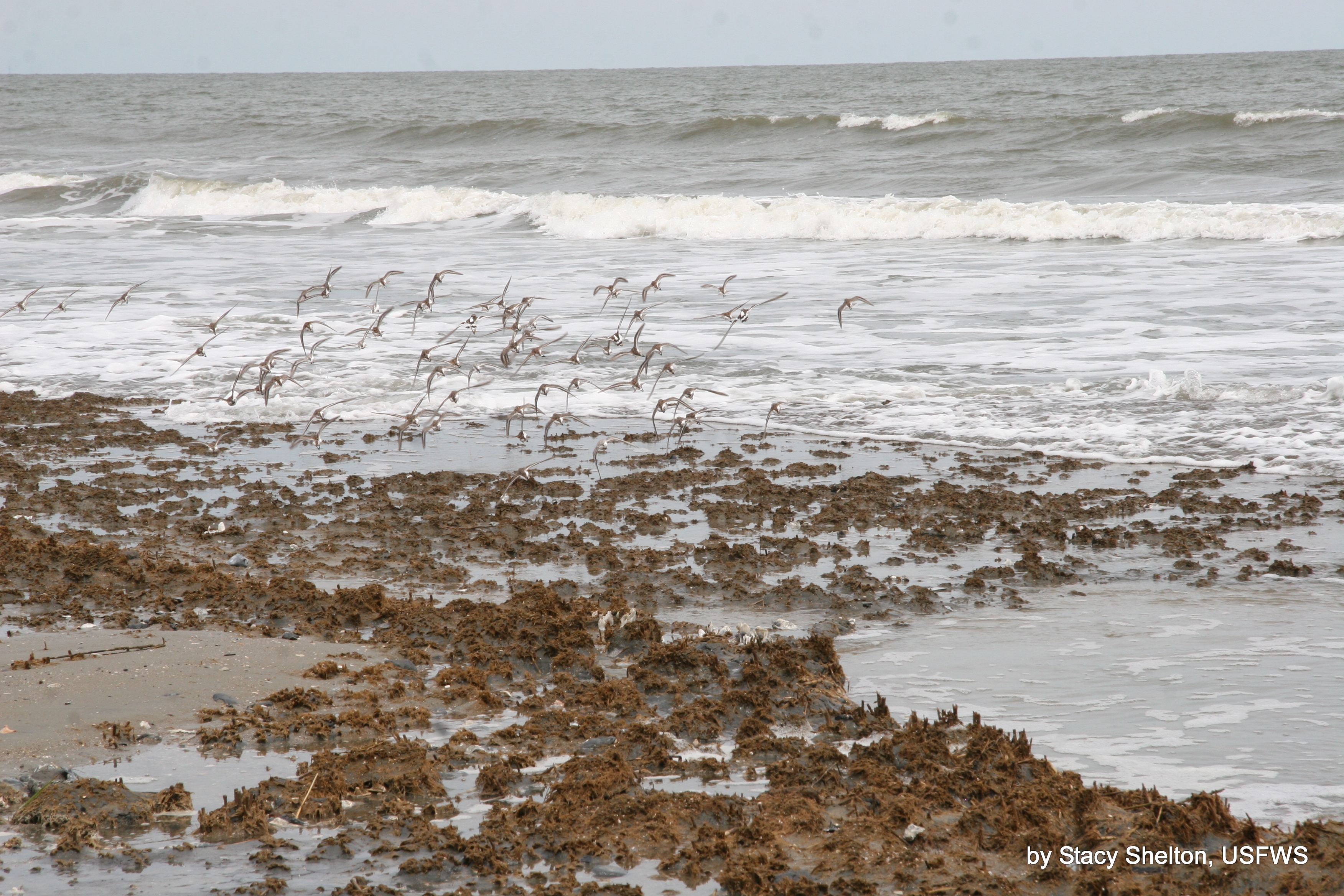
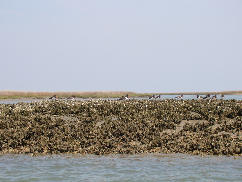
North Santee Bar is an ephemeral sandbar located at the mouth of the North Santee River. North Santee Bar supports colonies of nesting seabirds, including Royal Terns, Sandwich Terns, Least Terns, Black Skimmers, and Gull-billed Terns. Besides providing nesting habitat, the sanctuary provides a loafing and feeding area for thousands of shorebirds.
Santee-Delta Wildlife Management Area (Managed By SCDNR)
The Santee-Delta WMA consists of 1,721 acres, of which 1,135 acres are managed wetlands (impoundments). Each impoundment is managed as a traditional moist soil method targeting the production of panic grasses and smart weeds.
Santee Coastal Reserve Wildlife Management Area (Managed By SCDNR)
Santee Coastal Reserve consists of 24,000 acres characterized as a waterfowl management area. Managed wetlands comprise 12,000 acres of the Reserve, and these are divided into 3 units: the Cape, with 9 impoundments; Murphy Island, with 4 impoundments; and Cedar Island, with 3 impoundments. The impoundments are former rice fields managed for the benefit of breeding, migratory, and wintering waterfowl, shorebirds, and wading birds. The front beaches of Murphy and Cedar Islands have nesting and migratory shorebirds.
Cape Romain National Wildlife Refuge (Managed By The U.S. Fish And Wildlife Service)
Cape Romain extends 22 miles along the South Carolina coast. The 66,000 acres are primarily composed of estuarine emergent wetlands dominated by smooth cordgrass. Barrier islands in the refuge are: Cape Island, Lighthouse Island, Raccoon Key, and Bulls Island- each of these contain sandy shores and dune systems, intertidal mud and sand flats. Managed impoundments are found on Bulls Island; these range from fresh to brackish to salt water. Cape Romain NWR also has tidal creeks and a designated Class 1 Wilderness Area. Cape Romain NWR has large flocks of wintering shorebirds and 25% of the state’s nesting Wilson’s Plovers and 42% of the state’s nesting American Oystercatchers.
Capers Island Heritage Preserve (Managed By SCDNR)
Capers Island is an undeveloped barrier approximately three miles in length and one mile in width. It encompasses 850 acres of maritime uplands, 214 acres of front beach, 1090 acres of salt marsh and over 100 acres of brackish water impoundments. The front beach has large flocks of migratory shorebirds and nesting Wilson’s Plovers and American Oystercatchers.
Dewees Island And Big Hill Island (Privately Managed)
Dewees Island encompasses approximately 1,200 acres which consists of 2 brackish water impoundments total of 250 acres, 110 acres of beachfront, 670 acres of marsh and 540 acres of upland maritime forest. The island has only 150 home sites, no paved roads, and very strict building codes that demand a small footprint and very little clearing of natural vegetation.
Big Hill Island consists of 175 acres of marsh bordered along the Atlantic Intracoastal Waterway by a shell rake managed by Dewees Island. It supports nesting American Oystercatchers and hundreds of wintering shorebirds.

Resources
Explore publications about recent research on shorebird abundance, distribution, and ecology in coastal South Carolina by following the links below.

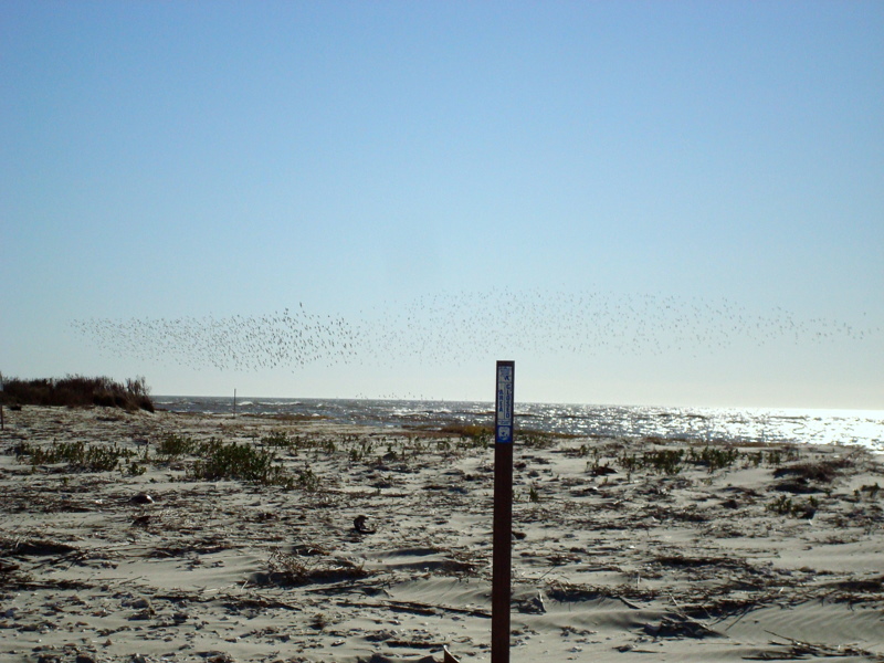
This sign stands at the entrance of all five sites that make up the Cape Romain-Santee Delta Region WHSRN site.
For more information about how to create an interpretative sign for your WHSRN site, visit the WHSRN Resources page.

