The WHSRN Executive Office is excited to announce the launch of a new WHSRN Sites mapping tool.
You can now explore polygons of all sites in the Network, and see how they overlap with Important Bird and Biodiversity Areas (IBAs), Ramsar Sites, and designated Protected Areas.
Curious how it works? Check out these examples!
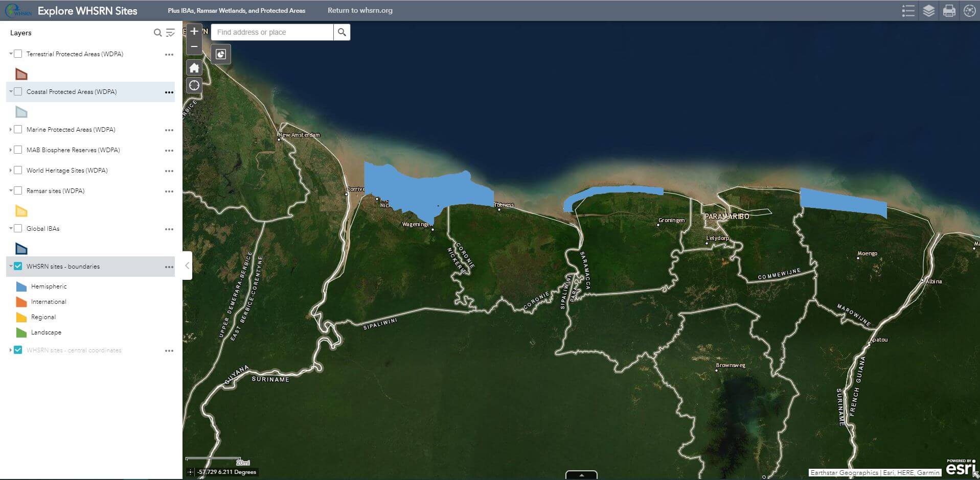
These are the three WHSRN Sites in Suriname:
You can toggle different map layers on and off to see how these site boundaries overlap with other conservation designations. For example, here’s how these sites line up with neighboring IBAs (1), Ramsar Sites (2), and Coastal Protected Areas (3).
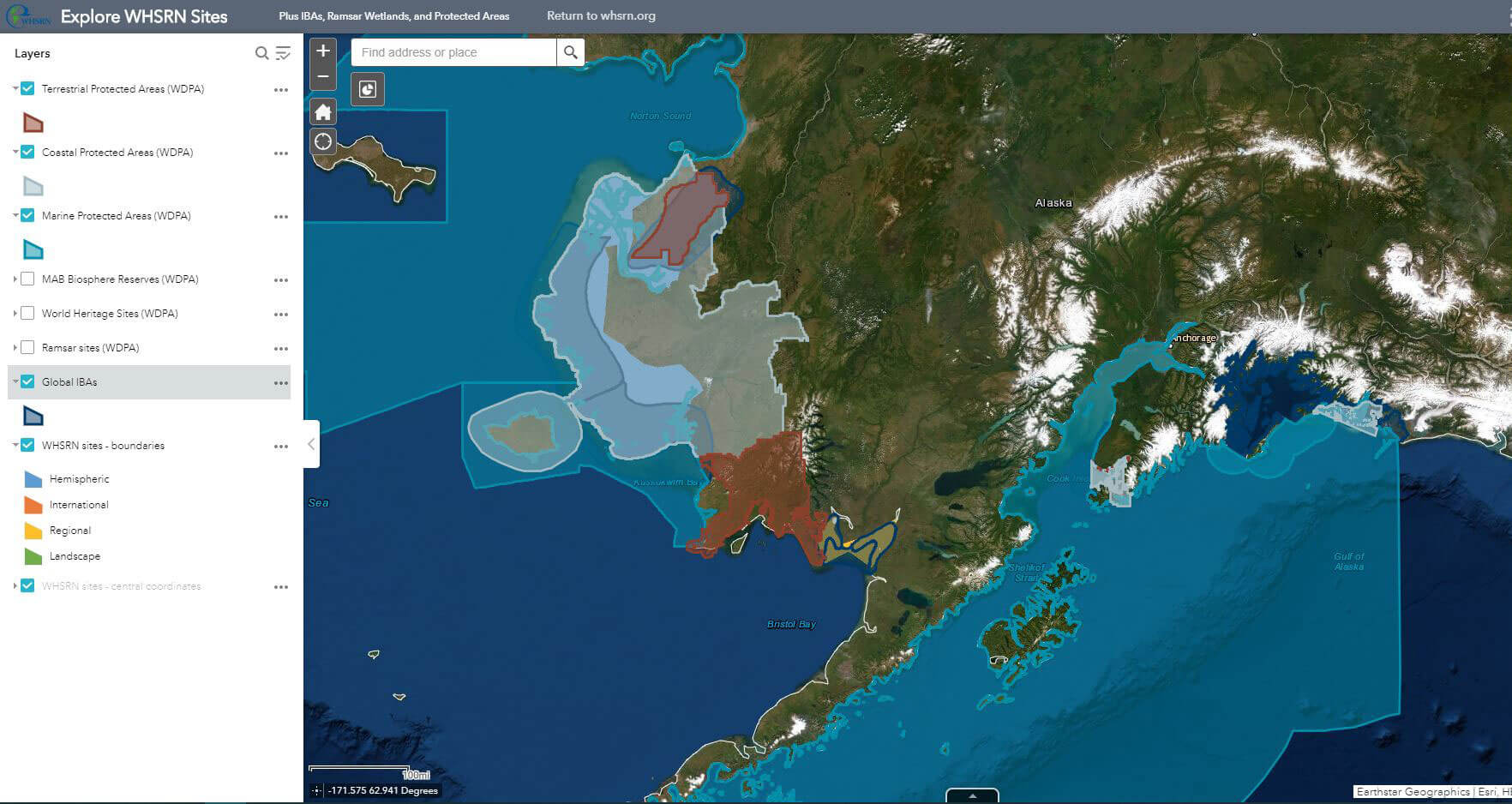
Or take a look at the Yukon Delta National Wildlife Refuge in Alaska:
This WHSRN site overlaps with IBA, Marine and Coastal Protected Area, and two Terrestrial Protected Area designations.
You can also click on a polygon at any point to read its description, like these examples from Laguna Mar Chiquita in Argentina. WHSRN polygons display basic statistics about each site, and lead you to the site’s full profile on the WHSRN website. Pop-ups are also available with details about each protected area or other designation.
All Ramsar Sites are included, but to improve loading time we have only included IBAs and Protected Areas that are within 1 km of a WHSRN site. The WHSRN site boundaries represented here are based on the best available information. Actual boundaries may differ and/or polygons may be under review by site partners.
Thank you to David Díaz Fernández and Laura Chamberlin for their work creating this map. Development of this tool was made possible thanks to support from the Bobolink Foundation.
We hope you enjoy exploring this new tool, now available on the Map of Sites page on the WHSRN website!


