Parte Alta de la Bahía de Panamá
Location
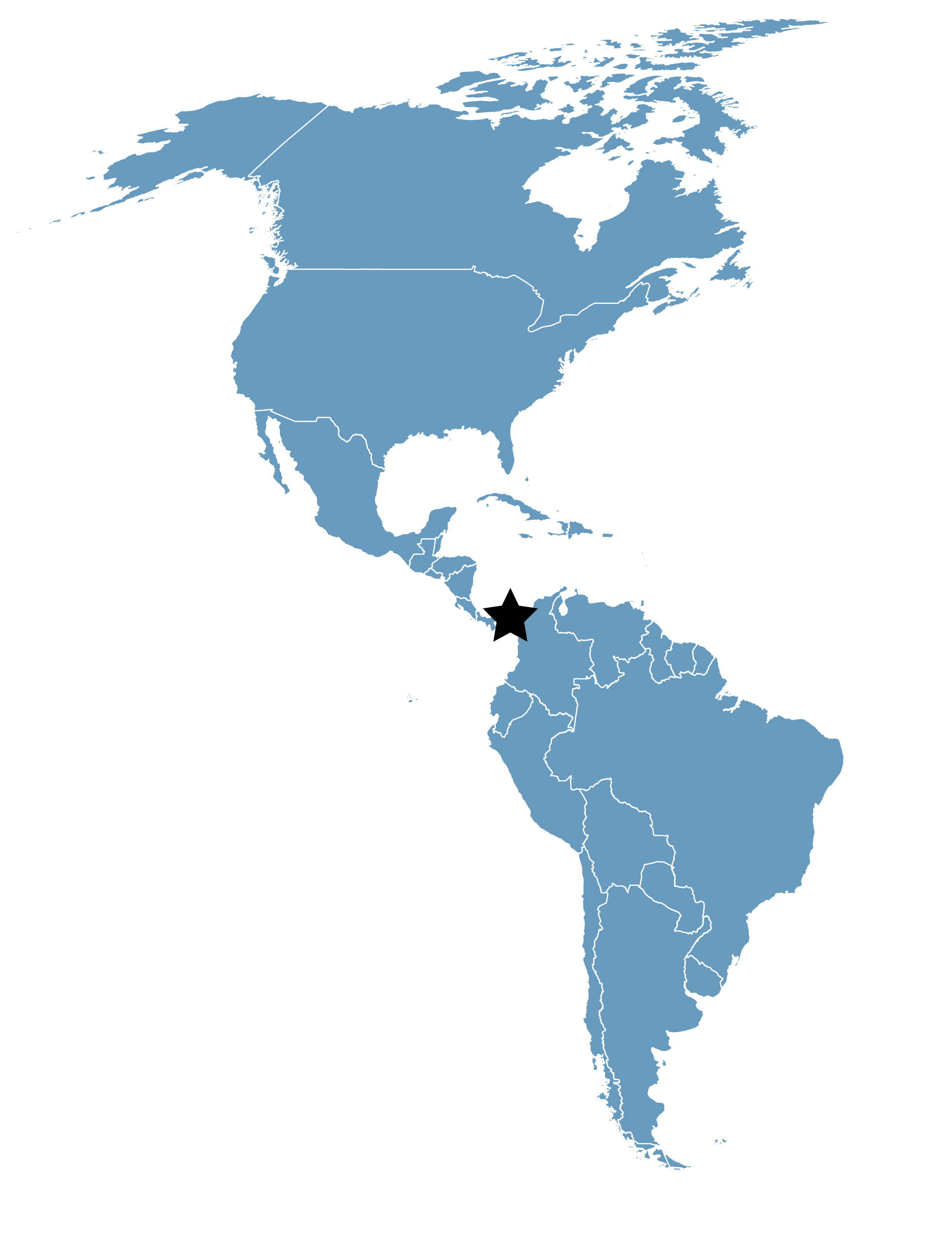
Panama Province, Republic of Panama
Category
Hemispheric
Basis for Designation
Usage by more than 1,000,000 shorebirds annually.
Size
48,919 hectares (120,881 acres)
Date Designated
January 2005
Site Owner
State owned, managed by the Autoridad Nacional del Ambiente (National Environmental Authority)
Site Partners
Autoridad Nacional del Ambiente (ANAM)
Panama Audubon Society (PAS)
Overview
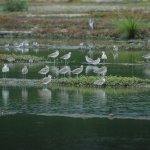
Like sand through an hourglass, millions of migrating birds from North America pass through the Isthmus of Panama and into South America each fall. Hawks, songbirds, and shorebirds each provide a spectacle in their own right, but of the three, the shorebird migration most impresses an observer with its huge numbers as birds fly wingtip to wingtip over the beach or huddle together by the tens of thousands at high tide. The richest and most heavily used part of this area is the 30 kilometers of shoreline starting at the edge of the city and extending east towards Colombia. In 1997, during the fall migration, these mudflats hosted 1,300,000 migrant shorebirds. As much as 30% of the world population of Western Sandpipers were included in this figure. Satisfying the normal energy requirements of the shorebirds would have required over 50 metric tons of marine worms in October alone (Watts, 1998).
Millions of migrating birds from North America pass through the Isthmus of Panama and into South America each fall.
The entire site is on a coastal alluvial plain on the Pacific side of the Isthmus of Panama and consists of mangroves and adjacent mudflats. In places the mangroves form a thin fringe along the shore, but the estuary of the Rio Bayano towards the center of the site contains 9,300 hectares of mangroves, including some areas dominated by palms. The gradient off the coast is very low which, combined with a tidal range of over 5 meters, results in exposed mudflats exceeding 2 km wide at the lowest tides. The mudflats range from fine-grained, almost soupy mud to sand bars found mostly at the mouth of the Bayano River. Some areas have volcanic rock outcrops.
In addition to shorebirds, the site contains nesting colonies that include 600 Great Egrets and 700 Neotropical Cormorants. It is used by many other waterbirds, including Roseate Spoonbill, Wood Stork, Snowy Egret, Tricolored, Great Blue, Little Blue, and Cocoi Heron, White Ibis, and many gulls and terns. Neotropical River Otter, Crab-eating Raccoon and American Crocodile are among threatened species presumed to occur.
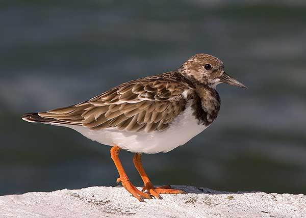
This Ruddy Turnstone is one of several species that prefer to feed on rocky outcrops in the bay, instead of on mudflats. Photo: Karl Kaufmann.
Land Use and Habitat Protection
The land surrounding the site is used for rice cultivation, cattle ranching, and subsistence agriculture. The western end of the site is adjacent to the capital city, Panama, and has urban and suburban housing and an international airport abutting the mangroves. In this section, only the mudflats are included in the site. The mangroves are excluded. Further to the east, rice farms and cattle pastures, often reclaimed from wetlands by cutting mangroves and channelizing streams, are adjacent to the site. There are some areas of second growth. The eastern part, beyond estuary of the Rio Bayano, has a higher proportion of subsistence agriculture and even some primary forest bordering the mangroves.
All mangroves in Panama are considered to belong to the state and it is illegal to cut them down. This law however is commonly ignored.
The site has just recently been placed on the Ramsar list of Internationally Important Wetlands. In so doing, Panama promises to preserve the ecological services the site provides.
Threats
Near the coast, sand is being extracted for use in construction. In various places, industrial chemicals, raw sewage, and agricultural chemicals from rice farms flow into waterways in the mangroves and ultimately across the mud flats. A new sewage treatment plant is being built at the western end of the site. Some mangroves around the periphery of the mangrove area are being cut for use as pasture. A few shrimp farms were built in the mangroves many years ago and then fell out of use but it is not unlikely that the mangroves will again be used for the same purpose.
The major threat is clearing of mangroves for housing near the city. In the rural areas, clearing of land for cattle and agricultural use continues, but not at a rapid rate.

Teaching people to appreciate shorebirds at bird festivals is one way to gain long-term political support for the preservation of their habitat.
Management Priorities
There are currently no forest wardens assigned to the area. Guards with suitable transportation by boat, car, and occasional overflights by plane are needed to ensure that mangroves are not cut down illegally. Public education on the value of mangroves and mudflats is necessary to gain sufficient public support to reduce development.
Status of Conservation Efforts
The Upper Bay of Panama is composed of 5 different Important Bird Areas (IBAs), which were identified through completion of a Birdlife/PAS program to identify IBAs in Panama. PAS considers the Upper Bay of Panama to be one of its top priorities for conservation work and has been conducting a series of public awareness and educational projects on the importance of its preservation for the past 5 years.
Panama’s environmental authority, ANAM, is very supportive of conservation efforts in the Upper Bay of Panama but has a limited budget for work in the area.


