


Bay of Fundy
Location
New Brunswick and Nova Scotia, Canada
Category
Hemispheric
Basis for Designation
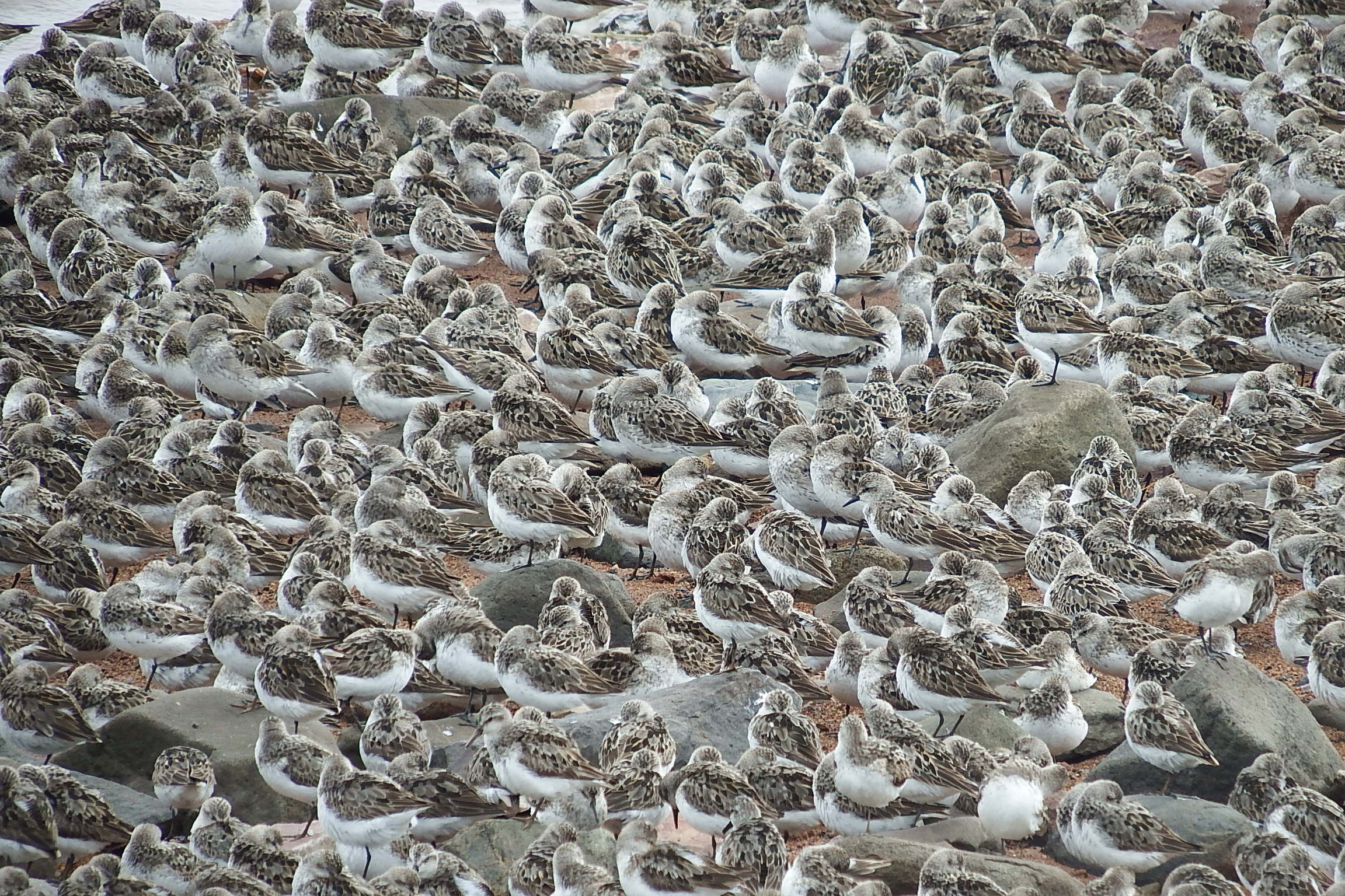
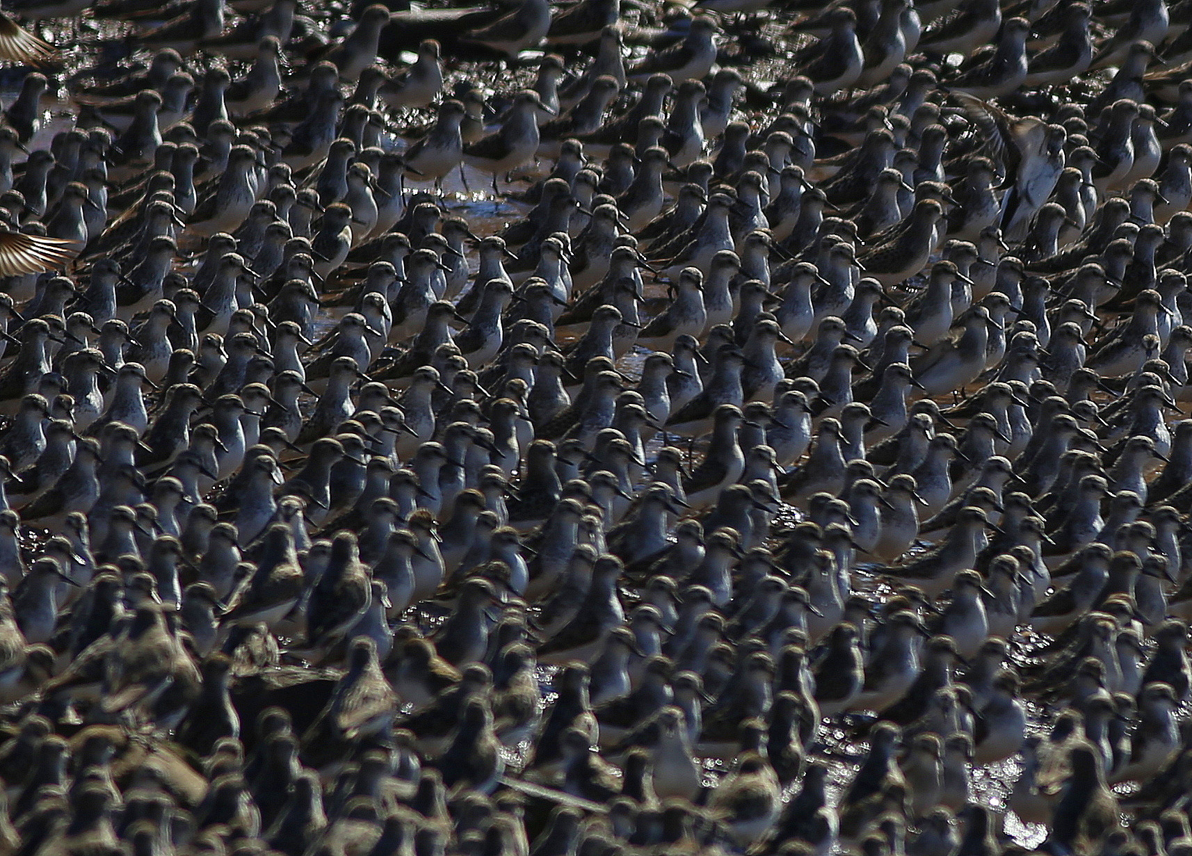
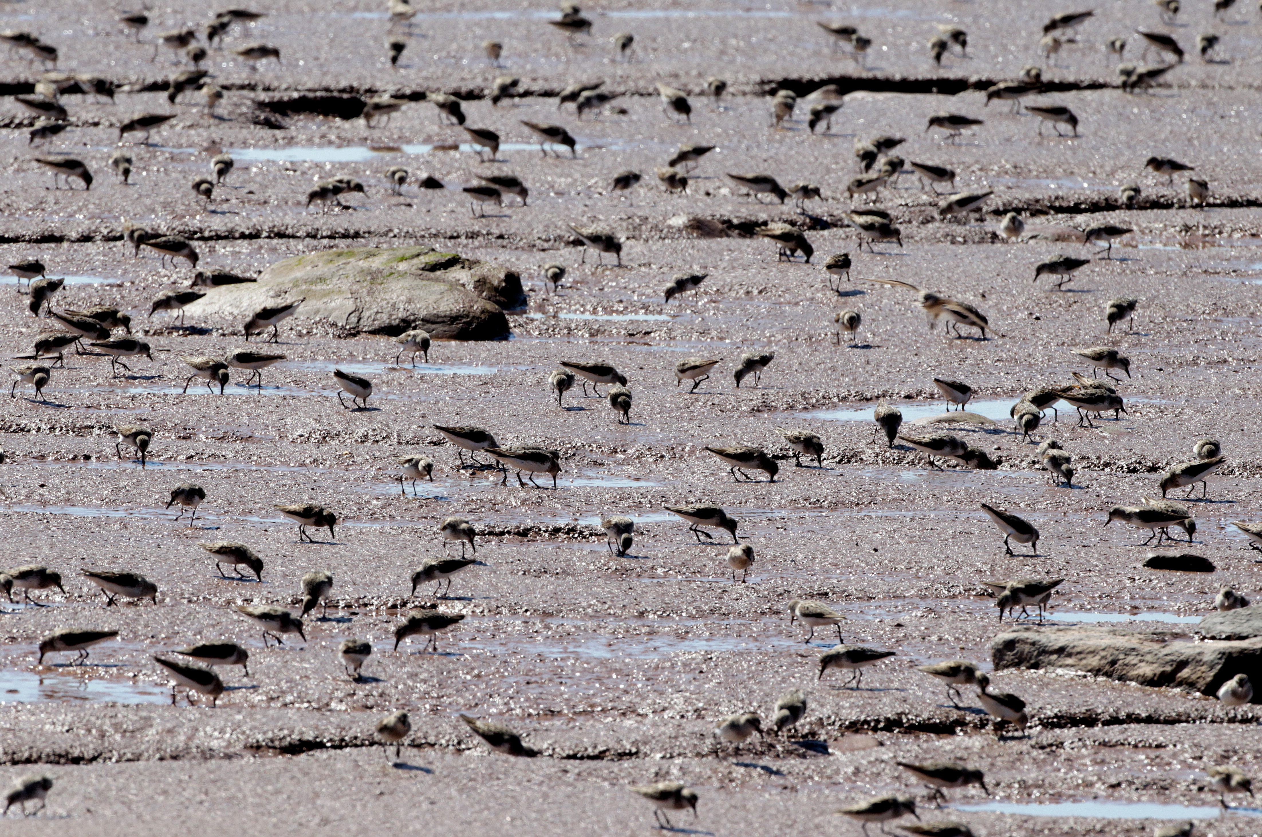
Hosts at least 70% of the eastern biogeographic population of Semipalmated Sandpipers (Calidris pusilla).
Size
121,000 hectares (299,000 acres)
Date Designated
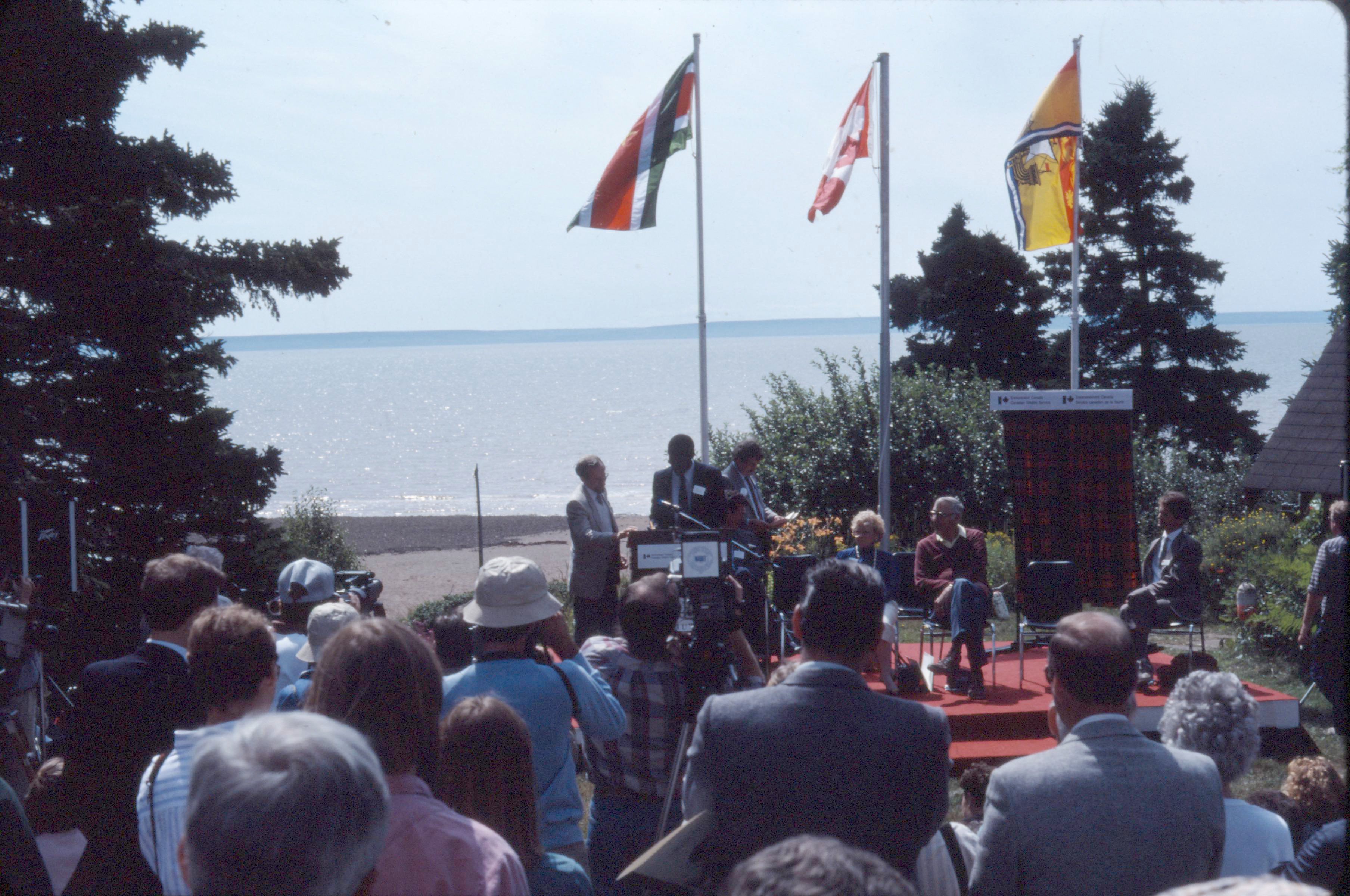
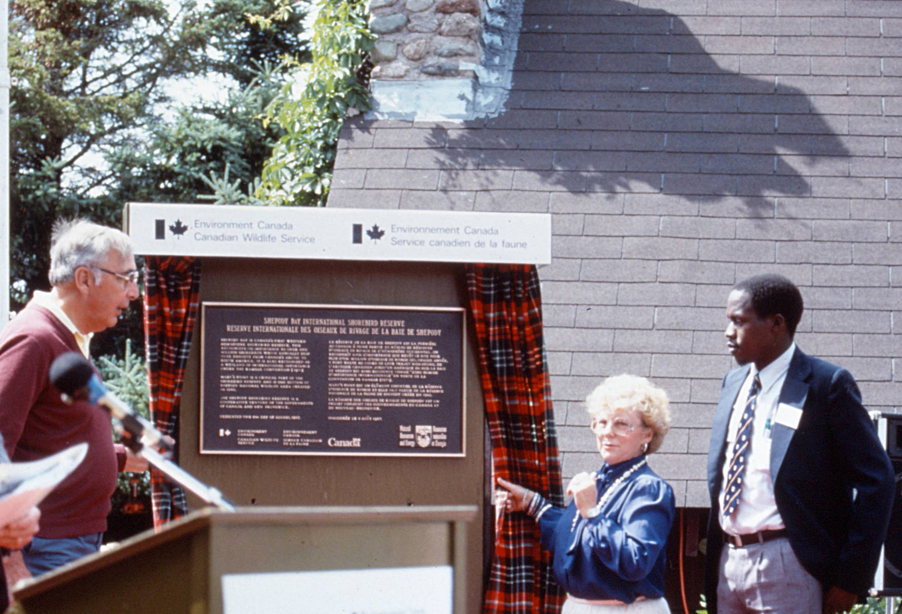
1987 (Shepody Bay, New Brunswick)
1988 (Southern Bight Minas Basin, Nova Scotia)
2019 (Cumberland Basin, Cobequid Bay)
Site Owner
Canadian Wildlife Service
Site Partners
Ducks Unlimited Canada
Nature Conservancy Canada
Bird Studies Canada

Overview
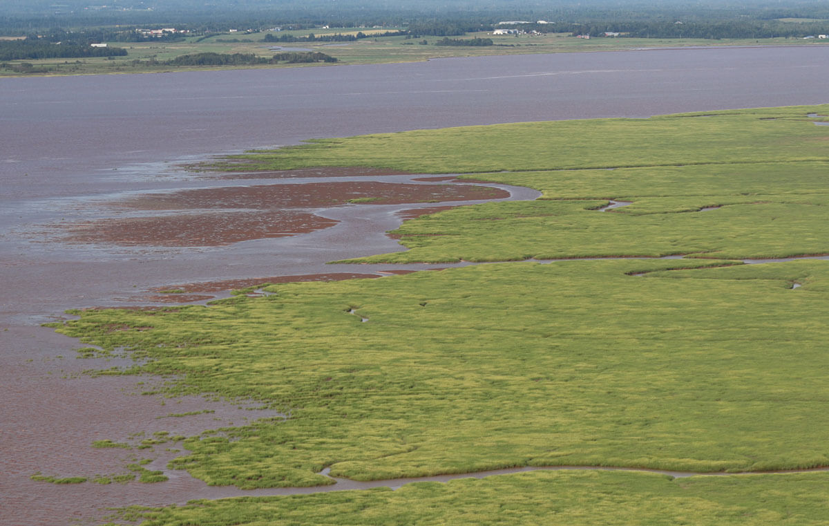
The Bay of Fundy is a northern temperate, macrotidal environment forming the northeastern extension of the Gulf of Maine. Extending approximately 270 km in a northeasterly direction between the provinces of New Brunswick and Nova Scotia, its uppermost region is divided into four distinctive bodies of water: Chignecto Bay in New Brunswick and Cumberland Basin, Minas Basin and Cobequid Bay in Nova Scotia.
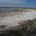
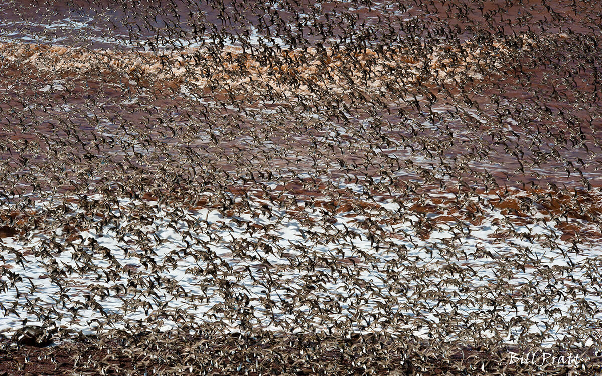
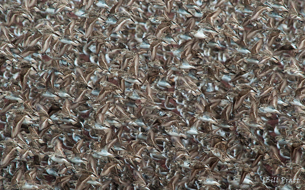
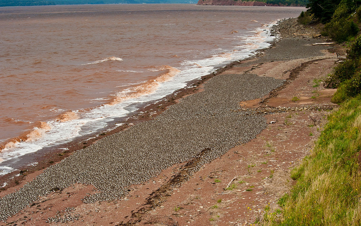
The upper Bay of Fundy is recognized for having the highest tides in the world, rising and falling 13 meters on average and more than 16 meters during spring tides. Fed by 100 billion tons of water, these tides expose over 80,000 hectares of invertebrate-rich mudflats when they retreat. A critical food resource for both fish and migratory shorebirds, including at least 70% of the eastern biogeographic population of Semipalmated Sandpipers Calidris pusilla. The largest homogenous post-breeding flocks of Semipalmated Sandpipers known in North America stage here for three weeks on average, to feed and gain the energy reserves necessary to fuel the last leg of their annual migration cycle – a 4900km nonstop flight from eastern Canada to northern South America.
The upper Bay of Fundy is recognized for having the highest tides in the world, rising and falling 13 meters on average and more than 16 meters during spring tides.
The intertidal portions of the Bay of Fundy, up to the high tide mark, are managed by the provinces of Nova Scotia and New Brunswick, while subtidal regions are managed by the federal government. The upper beaches, which extend to the high tide mark of the bay, are privately owned. Part of the intertidal portion of the Southern Bight, Minas Basin section of the WHSRN site (designated 1988) is managed by the province of Nova Scotia (N.S. Dept. Natural Resources) as a conservation area.

Map of the expanded Bay of Fundy WHSRN Landscape of Hemispheric Importance. Areas bordered in blue were part of the originally designated WHSRN site (Shepody Bay designated in 1987, Minas Basin designated in 1988). Areas bordered in yellow were added in 2019 after new research by the Canadian Wildlife Service and Mount Allison University confirmed that these sites (Cumberland Basin and Cobequid Bay) in Nova Scotia warranted WHSRN status, especially for their importance to Semipalmated Sandpipers (Calidris pusilla).
The mouth of the Bay of Fundy is also an important fall staging site for phalaropes. Groups of up to 75,000 Red Phalaropes (Phalaropus fulicarius) and Red-necked Phalaropes (P. lobatus) can be observed congregating in offshore upwelling zones near the Grand Manan Archipelago in New Brunswick and Brier Island in Nova Scotia. Furthermore, the rocky shoals and exposed ledges of the Grand Manan and Wolves Archipelago and Brier Island also provide important wintering habitat for Purple Sandpipers (Calidris maritima). The mouth of the Bay of Fundy is a critical rearing and foraging area for the Endangered Right Whale.
Conservation and Management Priorities
Fisheries and ecotourism are major industries in the small towns and villages bordering the Bay of Fundy, and an annual sandpiper festival is held in Dorchester, New Brunswick, each year.
Cottage-building and the expansion of suburbs along coastal areas of the Bay of Fundy, and increasing human access to the shoreline, continue to create difficult situations for migratory shorebirds, which require undisturbed beaches to rest during high tide periods. Disturbance by people and dogs is a key issue, however the purchasing of roosting beaches and marsh uplands by the Nature Conservancy of Canada, in close collaboration with the Canadian Wildlife Service, Environment Canada, has proven to be a concrete conservation measure which will benefit migrant shorebirds for future generations.

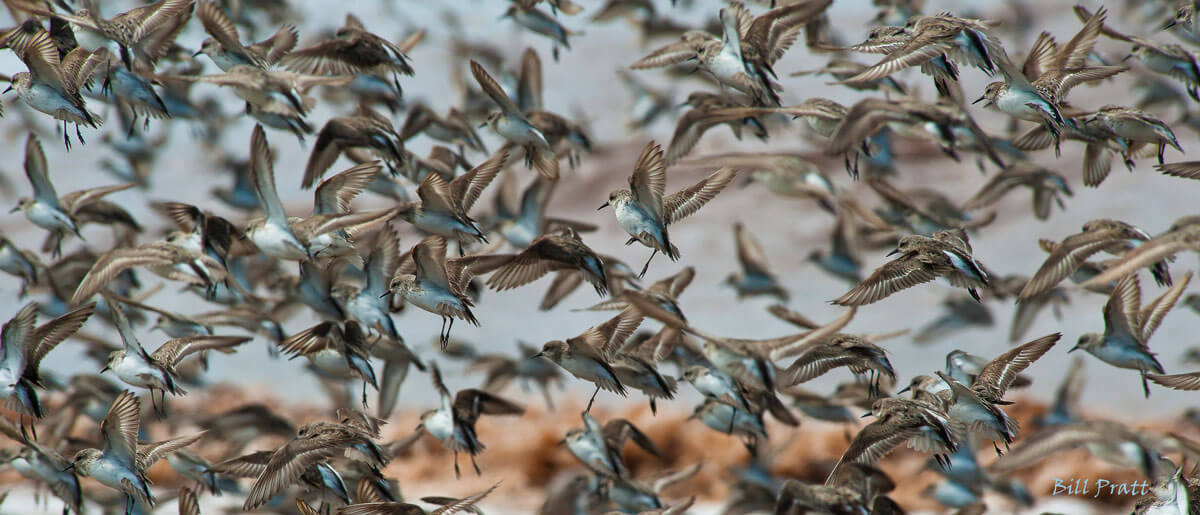
Semipalmated Sandpipers seen from above, flying over the mudflats of the Bay of Fundy. Photo: Julie Paquet, Canadian Wildlife Service.
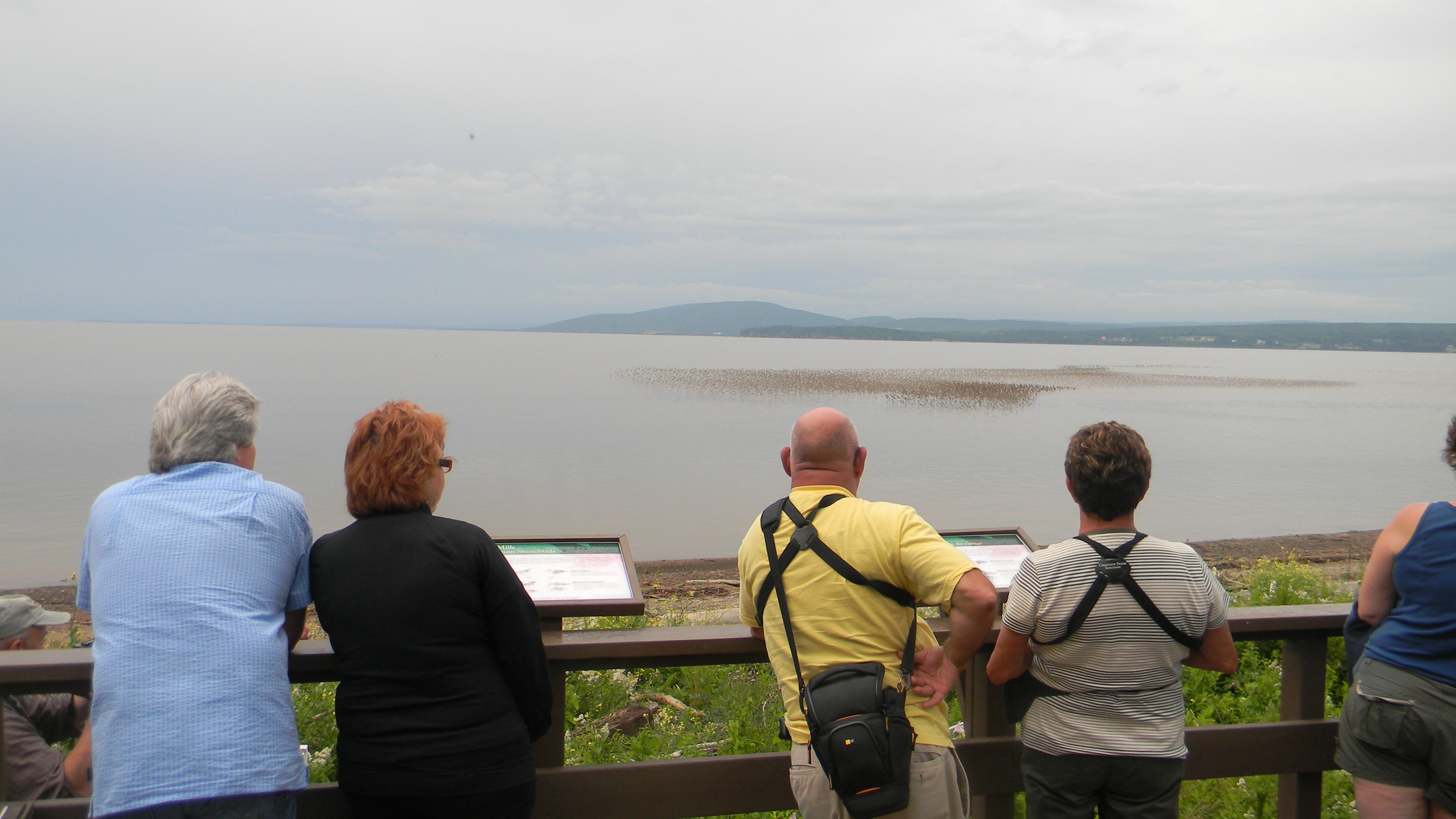
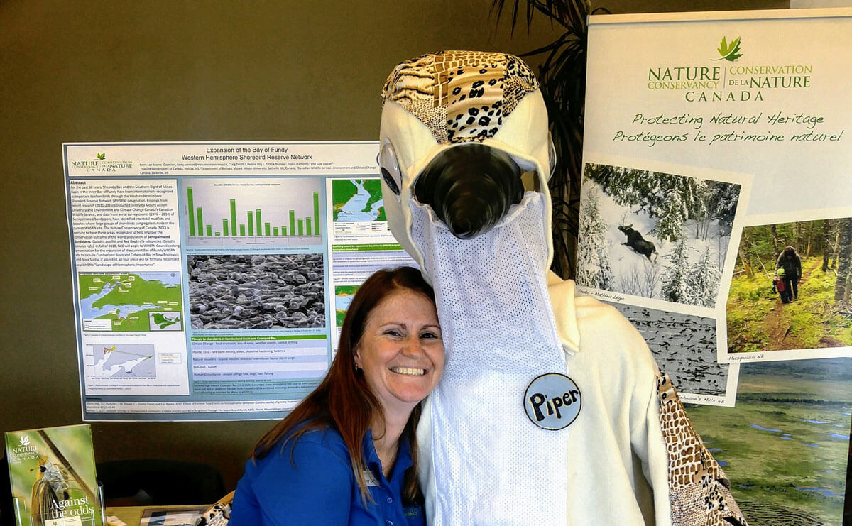
At the height of shorebird migration, Nature Conservancy of Canada opens its interpretive center at Johnson’s Mills to the public 7 days a week – giving visitors the opportunity to experience this extraordinary migration while helping the shorebirds roost in peace. With a community-based festival, educational activities, and a steward program, NCC, Canadian Wildlife Service, the Village of Dorchester, and other partners are working to ensure that people are taking action to reduce their impacts on shorebirds.

A sign designates an area of beach as “Space to Roost” for resting shorebirds. Photo: Sue Abbott.
The ‘Space to Roost’ project works with recreational users such as beachgoers and fishermen in the Minas Basin to set aside shorebird roosting habitat at high tide during the peak migration periods, while giving people access to other recreational areas. This project is led by Bird Studies Canada in partnership with Dalhousie University’s School for Resource and Environmental Studies, Blomidon Naturalists Society, Canadian Wildlife Service, the province of Nova Scotia, and Nature Conservancy of Canada.


